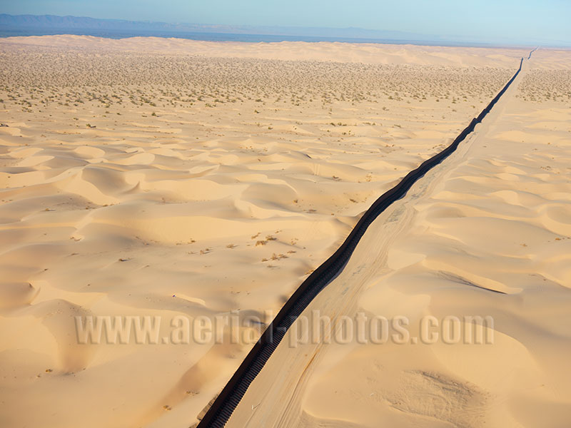
The Algodones Dunes is a large sand dune field in the scorching heat of the Sonoran Desert, it is approximately 72 kilometers in length with an average width of 10 kilometers. It is crossed by the International Border between Mexico (left of the border wall) and the United States. The Mexico–U.S. border is the most frequently crossed border in the world. The total length of the continental border is 3,145 kilometers from the Pacific coastline (between Tijuana and San Diego) to the Atlantic coastline (between Matamoros and Brownsville). Baja California, Mexico and California, United States.
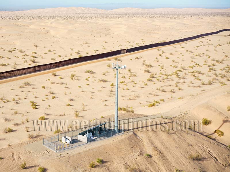
High-tech equipment used for detection of people crossing illegally from Mexico (behind the wall) into the United States. The wall between the two countries is made of narrow elements that can be moved vertically to be adjusted to the ever shifting sand dunes. Baja California, Mexico and California, United States.
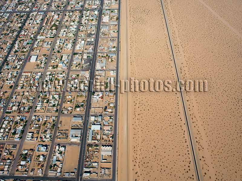
The city of San Luis Rio Colorado in the State of Sonora in Mexico is in stark contrast with a stretch of desert in the United States. In the heart of the Sonoran Desert, the city has a blistering summer heat with temperature having an average mid-afternoon temperature of 42°C and a record high of 52°C. Its annual precipitation is only about 50mm. Located 90 kilometers from the Gulf of California, the city was once an important inland port for steamers traveling the Colorado but in the early 1900s the Colorado has been diverted for irrigation. San Luis Rio Colorado, Sonora, Mexico.
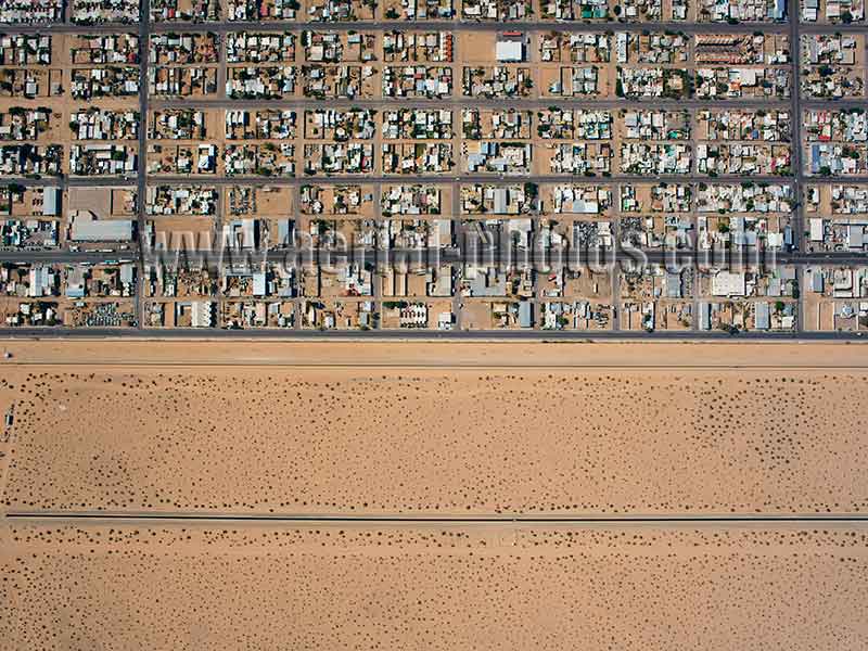
Once an important river port in the desert, the economy now depends on the maquiladoras. A maquiladora or maquila is an assembly plant that imports and assembles duty-free components for export as a finished product to the United States. The main advantage for plant owners is the available low-cost labor working for a lower hourly wage than in the United States. San Luis Rio Colorado, Sonora, Mexico.
The Colorado River is a 2330-kilometer-long river draining a vast area covering 640,000 km2. Oddly, no water reaches the Pacific. Lower left in the photo, the small stream is what remains of the mighty Colorado River and marks the Mexico - United States Border, Mexico is on the right bank of the river. Upper left in the photo, the Reforma Canal brings almost all of the remaining Colorado water to the agricultural fields of northern Baja California. Los Algodones, Baja California, Mexico.
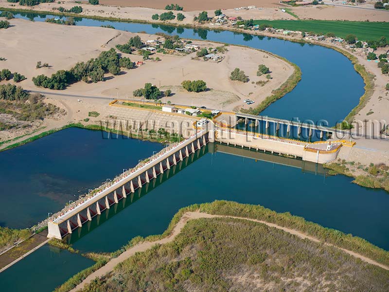
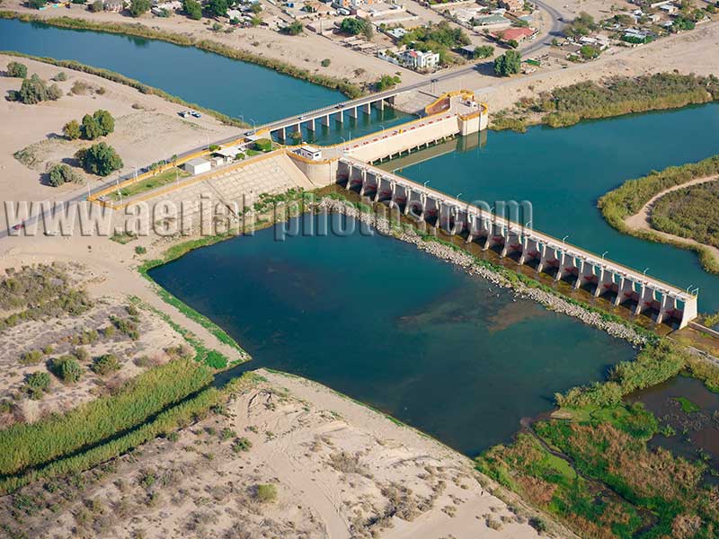
The Morelos Dam is the last dam on the Colorado River, it is a diversion dam whose purpose is to provide and regulate irrigation waters unlike storage dam built to conserve water. The dam was constructed by Mexico pursuant to a water treaty of 1944 to allow Mexico’s allotment of water from the Colorado River. The Colorado Delta has been dry since the early 1900s. In 2014, the gates of Morelos Dam were open for 8 weeks to flood the dry riverbed to rejuvenate the desert riparian habitat. Los Algodones, Baja California, Mexico.


