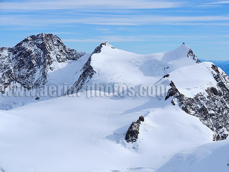
At an elevation of 4634 meters above sea level, Dufourspitze (rocky peak on the left) in the Monte Rosa Massif is the second highest summit in the alps after Mont-Blanc which has an elevation of 4810 meters. Dufourspitze is Switzerland’s highest summit. The peak on the right is called Signalkuppe in German or Punta Gnifetti in Italian. It is crowned with Europe’s highest mountain hut at a dizzying elevation of 4554 meters. Zermatt, Valais, Switzerland.
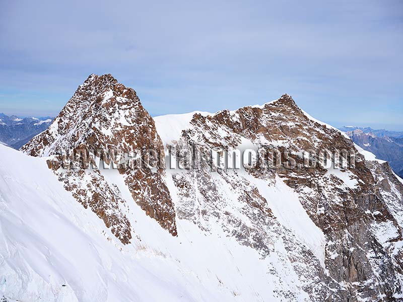
The summit of Dufourspitze (peak on the left) is entirely in Switzerland whereas the other peak, the Nordend (elevation: 4609 meters) separates italy (visible side on the photo) from Switzerland. Zermatt, Valais, Switzerland.
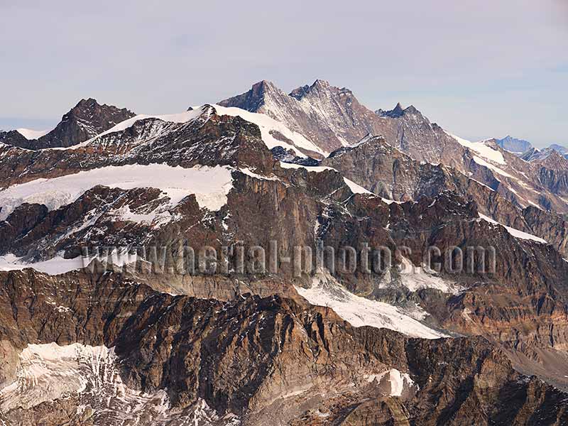
The Mischabel Massif viewed from the south with its highest summit, the Dom (elevation: 4545 meters) in the distance. Zermatt, Valais, Switzerland.
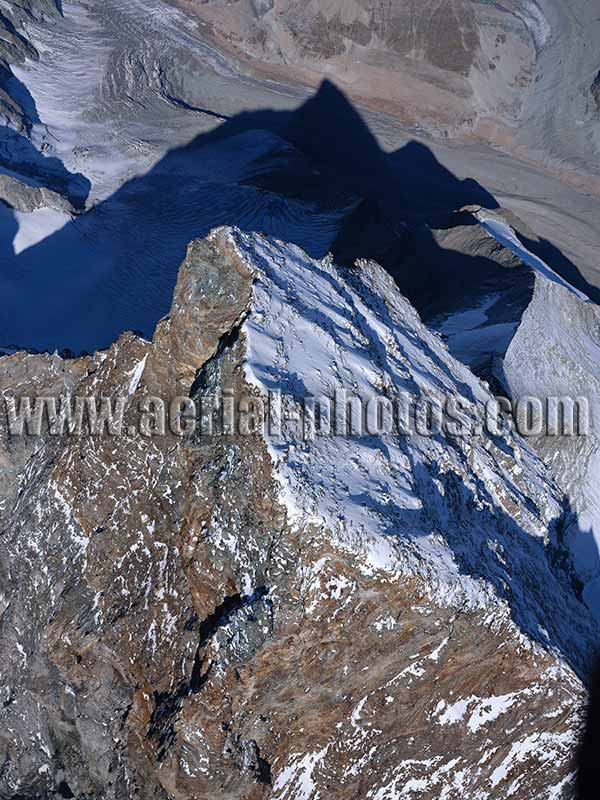
The isolated summit of Matterhorn / Cervino (elevation: 4478 meters), has a distinctive ridge which separates Italy (left of ridge) from Switzerland. This 100-meter-long very aerial east-west ridge also straddles the watershed between the Po basin in Italy and the Rhône basin in Switzerland, then France. Its summit was reached for the first time in 1865 by a party of seven led by Edward Whymper. This is a difficult and dangerous climb, four people fell to their deaths in that historic first ascent, and an estimated five hundred people have died ever since. Zermatt, Canton of Valais, Switzerland / Breuil-Cervinia, Aosta Valley, Italy.
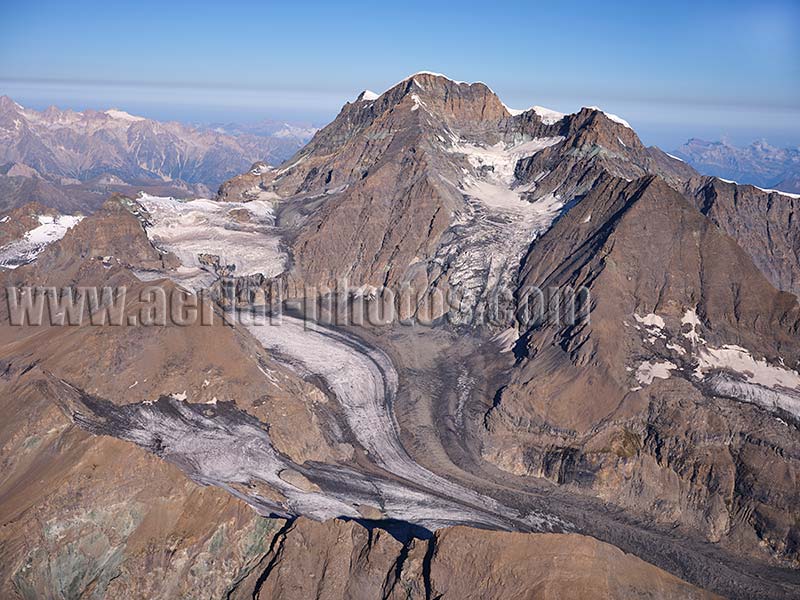
The Grand Combin Massif viewed from the Southeast. Valais, Switzerland.
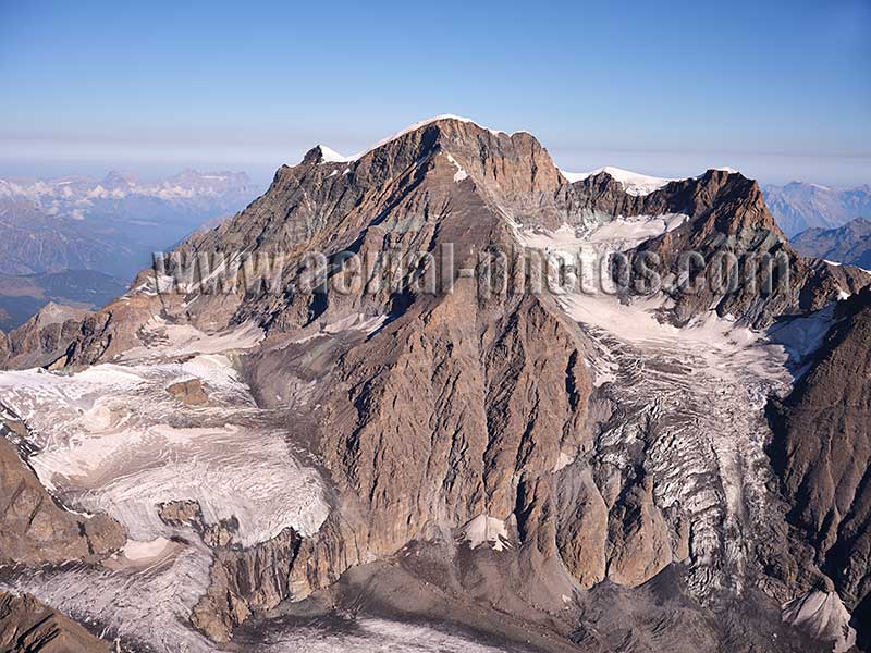
The highest peak in the Grand Combin Massif is the Grand Combin de Grafeneire, its elevation is 4314 meters above sea level. Valais, Switzerland.
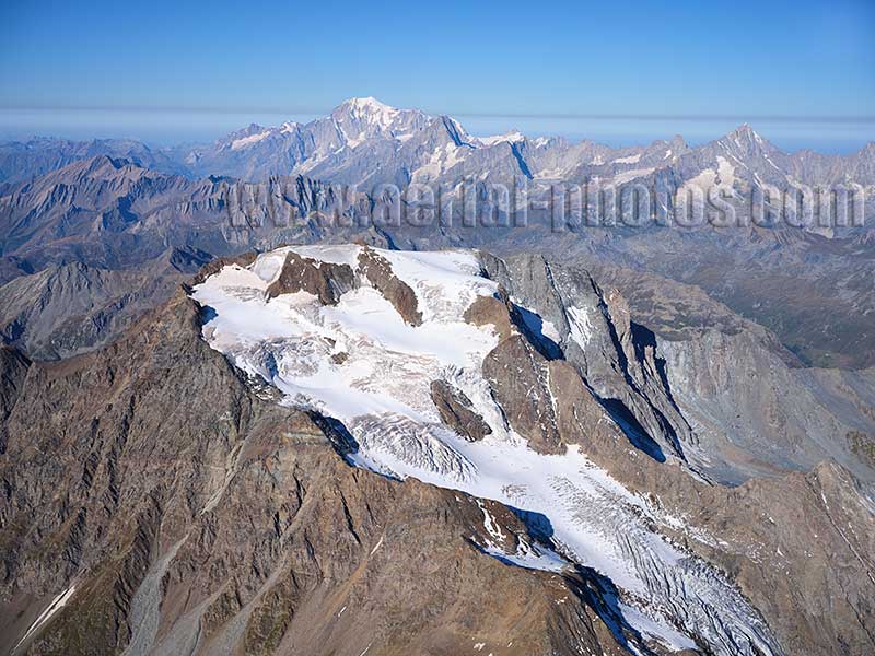
Mont Vélan is a 3727-meter-high summit east of the Grand Saint-Bernard Pass. In the distance, the Italian side of Mont Blanc can be seen. Valais, Switzerland.
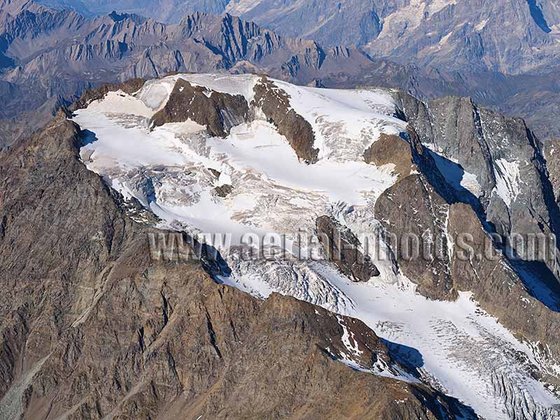
On the east side of Mont Vélan, the Glacier de Valsoray is part of the watershed of the Rhône Valley. The ridge to the left of the glacier is in Italy, it drains towards the Po Valley. Valais, Switzerland.
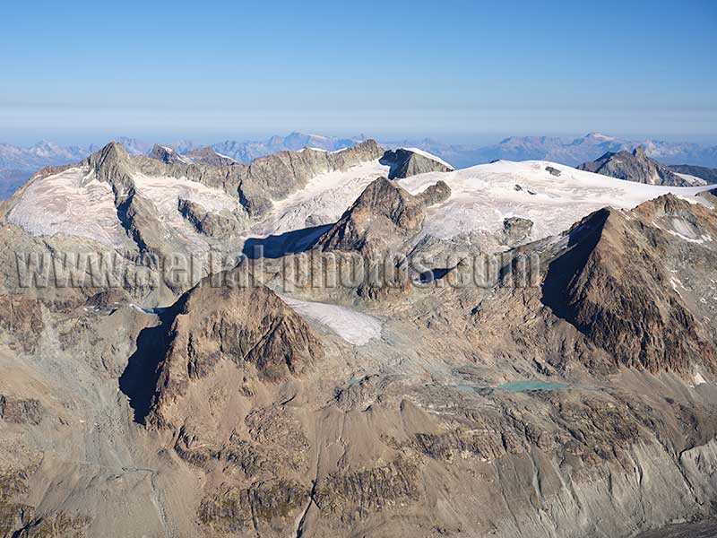
La Ruinette (elevation: 3875 meters). Valais, Switzerland.
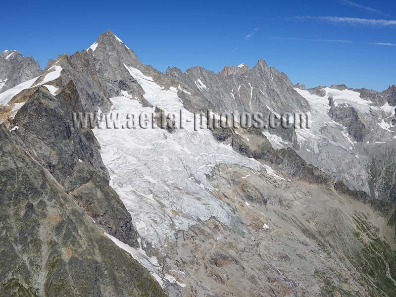
Swiss side of 3820-meter-high Mont Dolent. Mont-Blanc Massif, Tripoint of France, Italy and Switzerland.
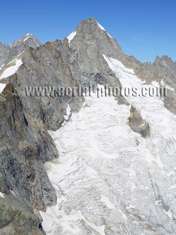
Swiss side of Mont Dolent and its east-facing glacier. Mont-Blanc Massif, Tripoint of France, Italy and Switzerland.
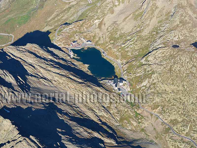
Grand Saint-Bernard Pass (elevation: 2469 meters) is a mountain pass between Italy and Switzerland. The international border crosses the lake; the closest half is in Switzerland. Valais, Switzerland.
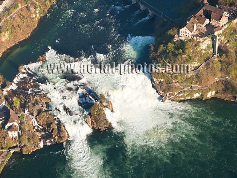
The medieval Castle of Laufen overlooks the massive, thundering Rhine Falls. The castle, being a significant heritage site, and the adjacent spectacular falls, are a boost to the local economy. Laufen-Uhwiesen (left bank of the Rhine), Canton of Zürich, Switzerland.
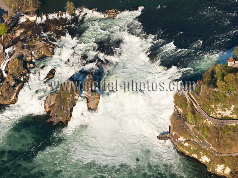
The Rhine Falls is the largest waterfall in Europe with an average flow between 250 m3/s in winter and 600 m3/s in summer. The lowest recorded water flow was 95 m3/s in 1921, the highest was 1,250 m3/s in 1965. The Rhine Falls has a height of 23 meters and a width of about 150 meters. Rhine Falls, Canton of Schaffhausen (right bank) and Canton of Zürich (left bank), Switzerland.
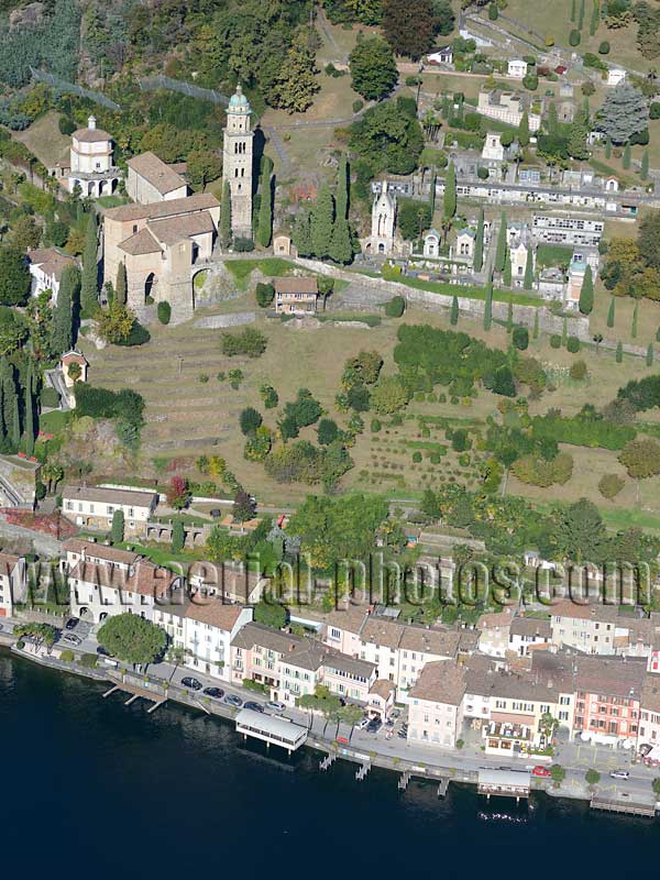
The Pilgrimage Church of Santa Maria del Sasso (circa 13th century) and the historic cemetery overlooks the village of Morcote on the shores of Lake Lugano (elevation: 271m amsl). Canton of Ticino, Switzerland.
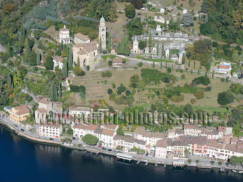
The picturesque village, voted Switzerland’s most beautiful village in 2016, is listed on the Inventory of Swiss Heritage Site. Lake Lugano, Canton of Ticino, Switzerland.


