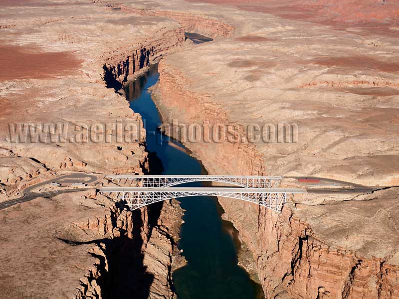
The dual spans of the Navajo bridge cross the Colorado River at Marble Canyon, it is part of the Grand Canyon National Park. Right of Marble Canyon is the land of the Navajo, left is the Vermilion Cliffs National Monument. The first bridge (height: 142m) was opened in 1929 and the second one (height: 143m) in 1995. Coconino County, Arizona, United States.
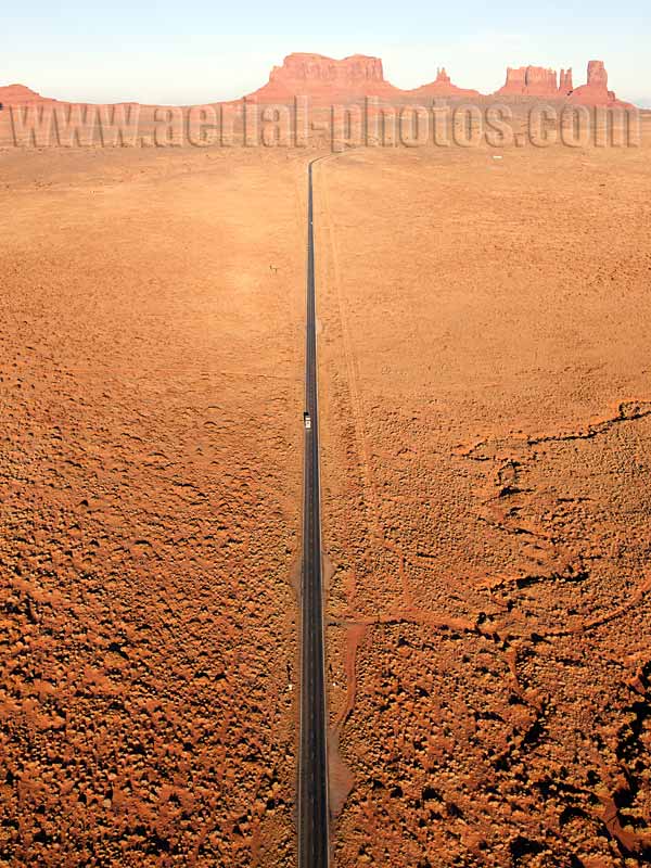
Long stretch of Highway 163 pointing toward a large sandstone butte named Brigham Tombs. Navajo Land, Arizona / Utah, United States.
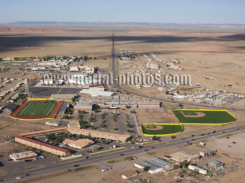
City of Chinle (elevation: 1678m), it is the gateway to Canyon de Chelly National Monument, a site with some of the most spectacular cliff dwellings of the American Southwest. Navajo Land, Arizona, United States.
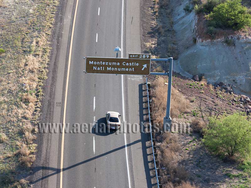
Turnoff to Montezuma Castle National Monument, an archaeological site of the Sinagua People. Camp Verde, Yavapai County, Arizona, United States.
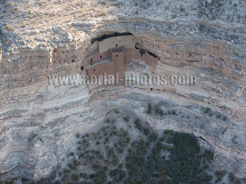
Montezuma Castle is a cliff dwelling built by the Sinagua People, it dates back to pre-Columbian time. Camp Verde, Yavapai County, Arizona, United States.
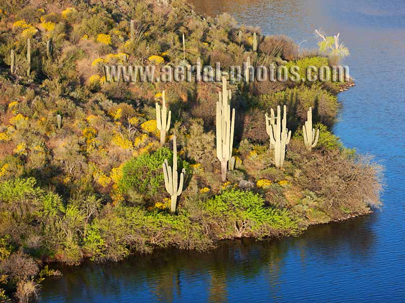
Not meant to be together: large saguaro cacti standing by a body of water. Apache Lake, Maricopa County, Arizona, United States.
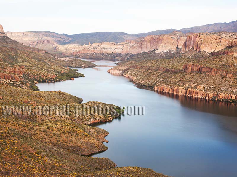
Apache Lake is a reservoir with water impounded from the Salt River. Alongside three other reservoirs on the Salt River, the Apache Lake provides electricity and its precious water to the Phoenix metropolitan area in the desert: Phoenix has an average yearly rainfall of only 200mm. Maricopa County, Arizona, United States.
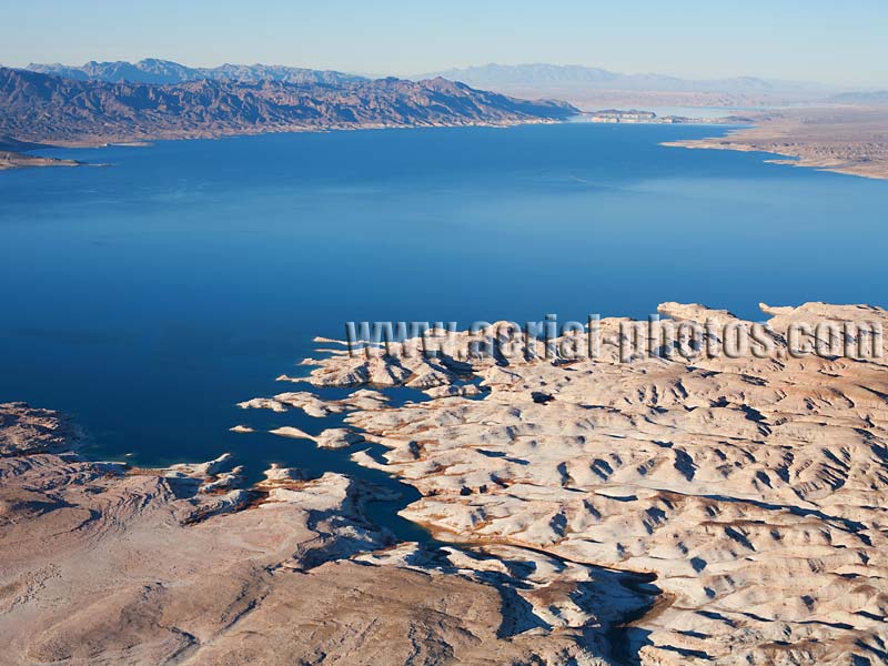
Lake Mead is a reservoir with water from the Colorado River impounded by Hoover Dam. With a surface area of 640 km2 at maximum capacity, it is a sharp contrast with the barren surrounding landscape where the average yearly rainfall is only 140mm. Lake Mead separates Arizona (in the foreground) from Nevada (in the distance). United States.
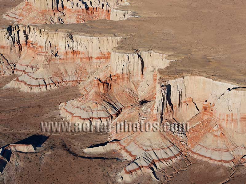
Coal Mine Canyon has many visually interesting rock formations which are surprisingly not well known by tourists visiting the area. It is located on the Moenkopi plateau straddling the Navajo-Hopi border. Arizona, United States.
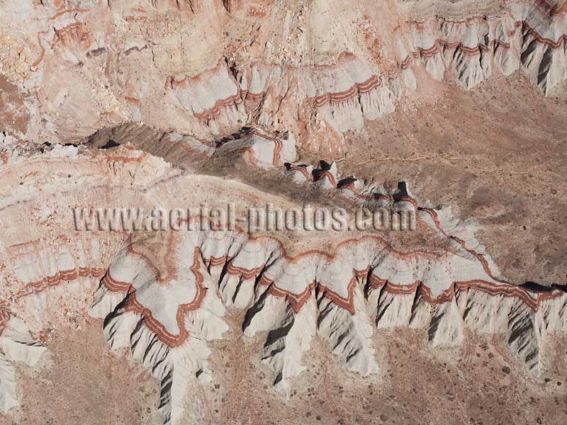
This sedimentary rock with strata having different amounts of iron oxide creates some interesting patterns. Arizona, United States.
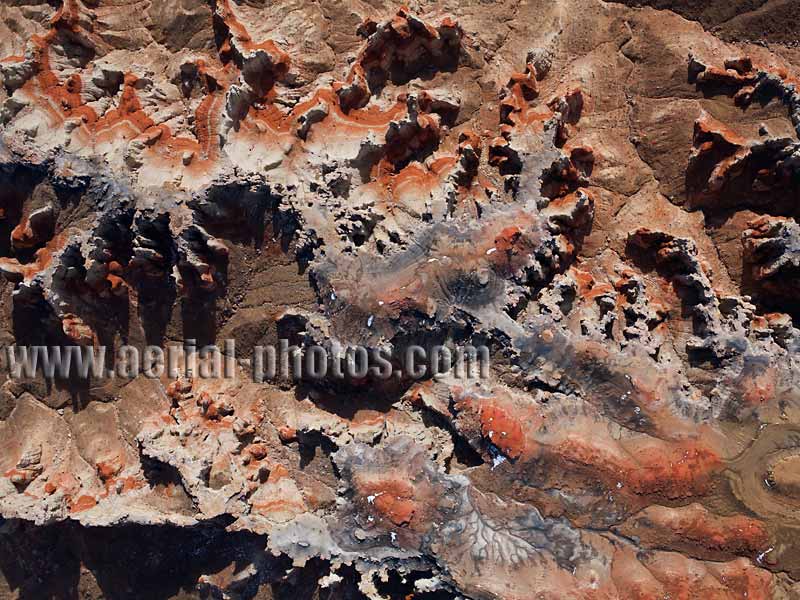
This canyon is composed of sedimentary rocks. It is mostly sandstone, whether red (rich in iron oxide) or white (no iron oxide present). Added to the color palette are the black and blue/grey which are the courtesy of thin seams of coal. This coal, used to be mined; hence the name “Coal Mine Canyon”. Fortunately, this coal was of a poor grade, so the mine was never fully exploited and is left with few mining scars. Just above the coal stratum, the red rock layer is a sandstone called clinker. It formed long ago, when the sandstone was “baked” by the underlying burning coal. Burning coal happens when it is struck by lightning wherever it is exposed on the canyon walls. Arizona, United States.
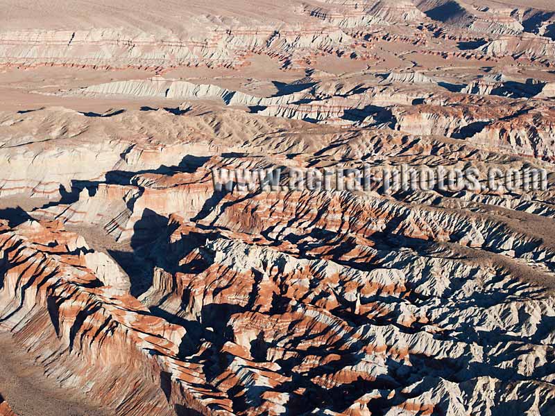
Discovering this fantasyland of canyons, cliffs and hoodoos, involves hiking as there is no infrastructure. Being on tribal land (Navajo or Hopi) a permit and/or a guide is required. Arizona, United States.
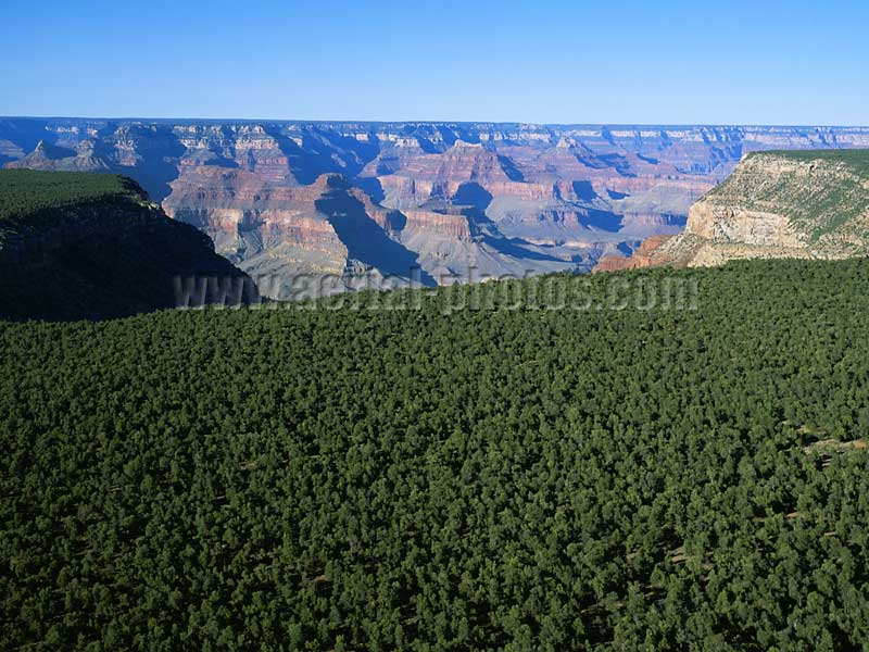
Viewed from above the Kaibab National Forest, the flatness of the Colorado Plateau is in sharp contrast with the deep chasm of the Grand Canyon. The Grand Canyon was designated a National Park in 1919 and a UNESCO world heritage site in 1979. Arizona, United States.
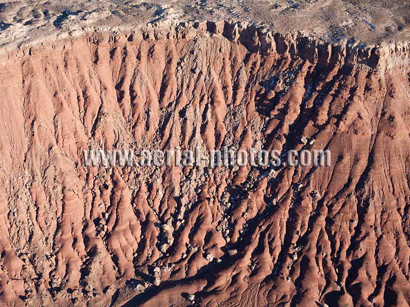
Landscape of eroded cliffs near Lee’s Ferry. Arizona, United States.
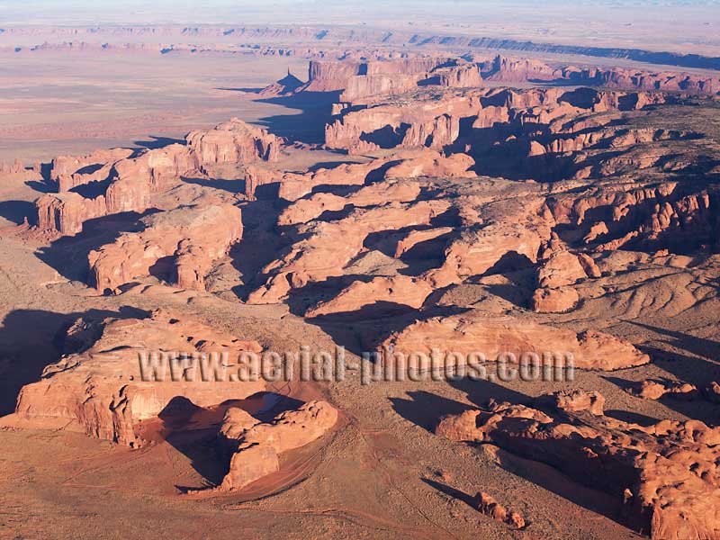
Numerous buttes of shale and sandstone, some reaching heights up to 300 meters, dot the landscape north of Hunt’s mesa. Arizona, United States.
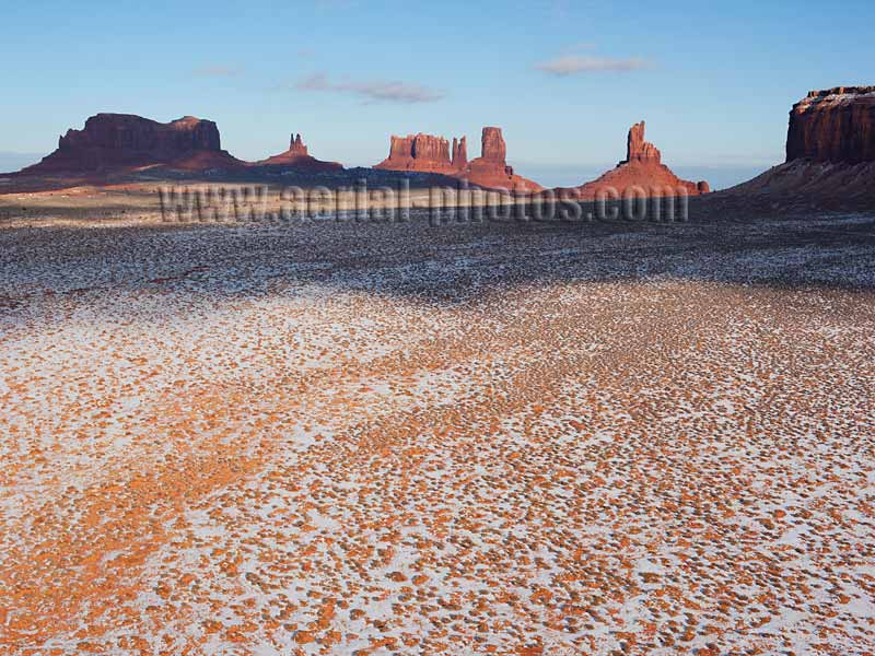
Mesas and Buttes. Monument Valley, Navajo Land, Arizona / Utah, United States.
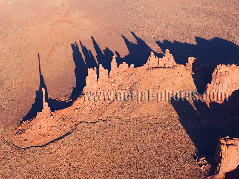
Totem Pole and the Yei Bi Chei. Monument Valley, Navajo Land, Arizona / Utah, United States.
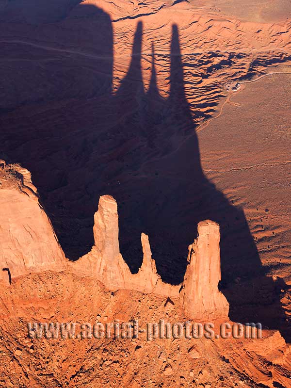
Land of the Long Shadows. Three Sisters Rock Formation, Monument Valley, Navajo Land, Arizona / Utah, United States.
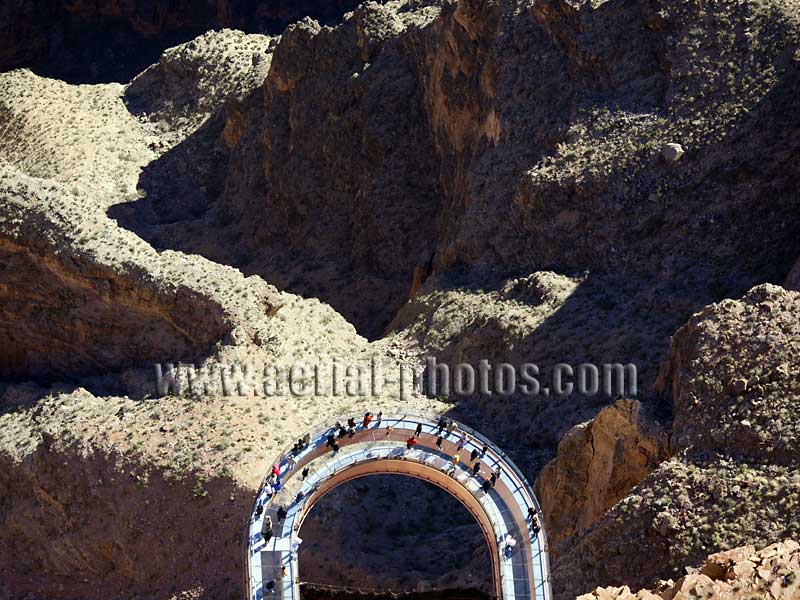
Shaped as a magnet, built to be a tourist magnet, the Skywalk is a controversial and overpriced tourist attraction. Hualapai Land, Grand Canyon West, Arizona, United States.
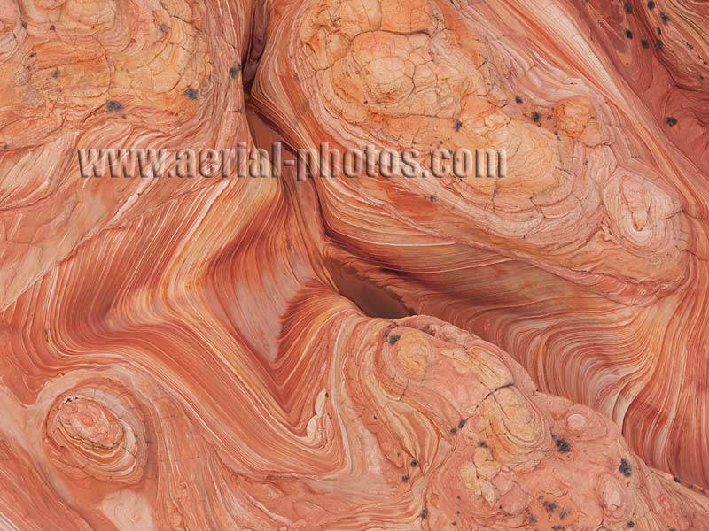
Unanimously, one of the most photogenic spot in the American West is in the Vermilion Cliffs National Monument, it is named “the Wave”. North Coyote Buttes, Arizona, United States.
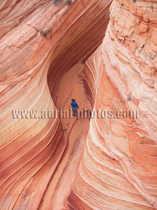
In order to limit the impact that too many visitors / photographers could have, the Bureau of Land Management – the agency administering this remarkable site – has set up a quota: only 20 visitors a day will be granted this privilege by means of a lottery. North Coyote Buttes, Arizona, United States.
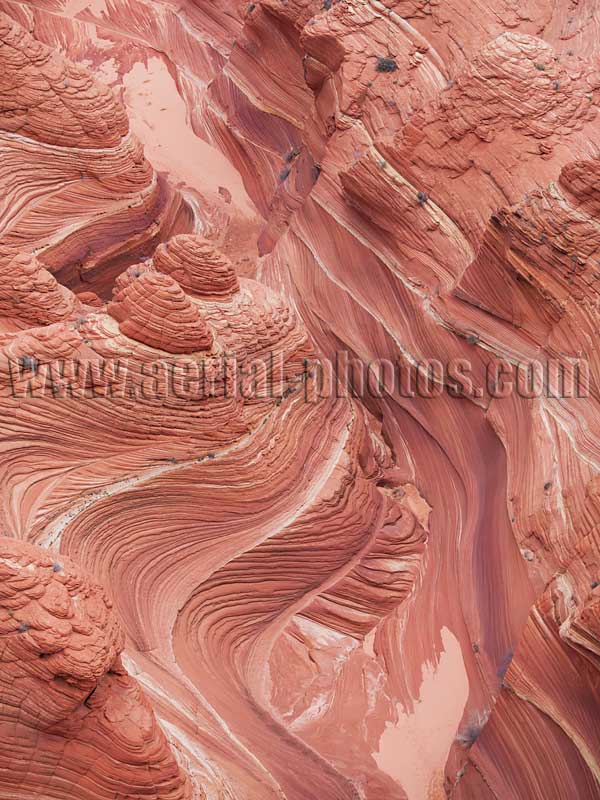
In the Jurassic period, wind-blown sand had accumulated and later cemented to form the swirling sandstone we see today. The angle of the striations in the strata is due to the shifting winds of the Jurassic period, this is called crossbedding. North Coyote Buttes, Arizona, United States.

If this sandstone is due to the accumulation, compaction and cementation of wind-blown sand, it is also the erosional forces of the wind that has shaped these four mounds and other rock formations nearby like the Wave. North Coyote Butte, Arizona, United States.
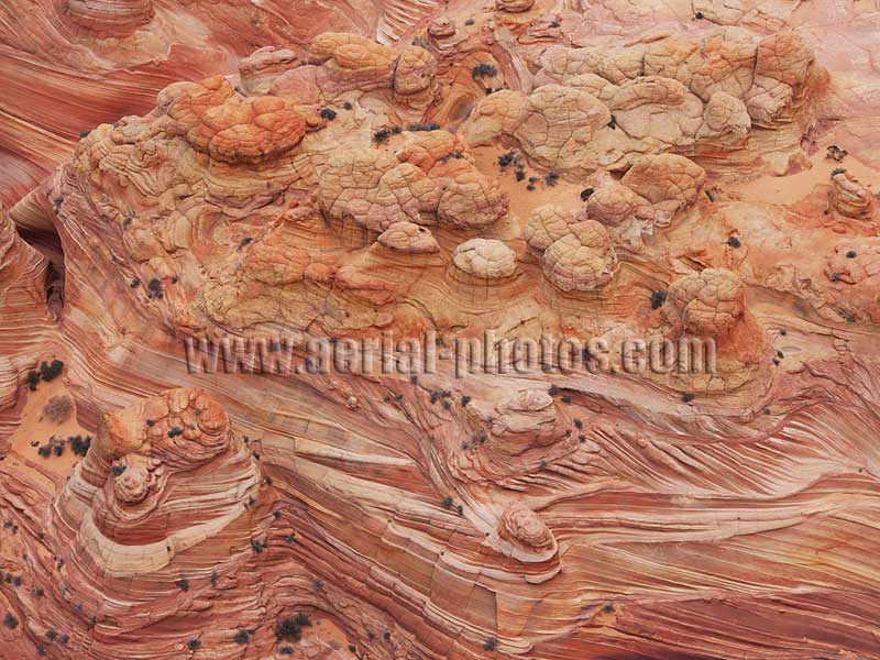
The kaleidoscopic colors of these knobby sandstone mounds are a result of various amounts of iron oxyde in the rocks. North Coyote Buttes, Arizona, United States.
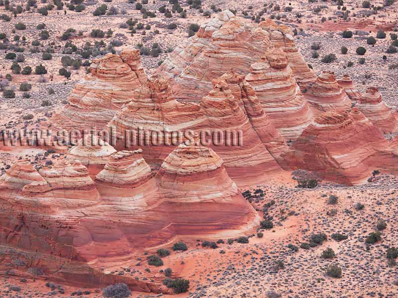
Sandstone Teepees. North Coyote Buttes, Arizona, United States.


