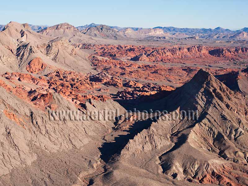
The Bowl of Fire is in the northern area of the Lake Mead National Recreation Area. Its point of interest is the striking red colors of its sandstone in sharp contrast to the muted colors of the surrounding landscape. Clark County, Nevada, United States.
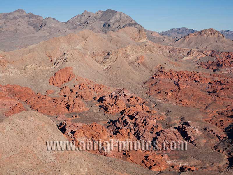
The Aztec sandstone seen here at the Bowl of Fire is from the Jurassic, its variation of red colors is due to various amounts of iron minerals which have oxidized. Lake Mead National Recreation Area, Clark County, Nevada, United States.
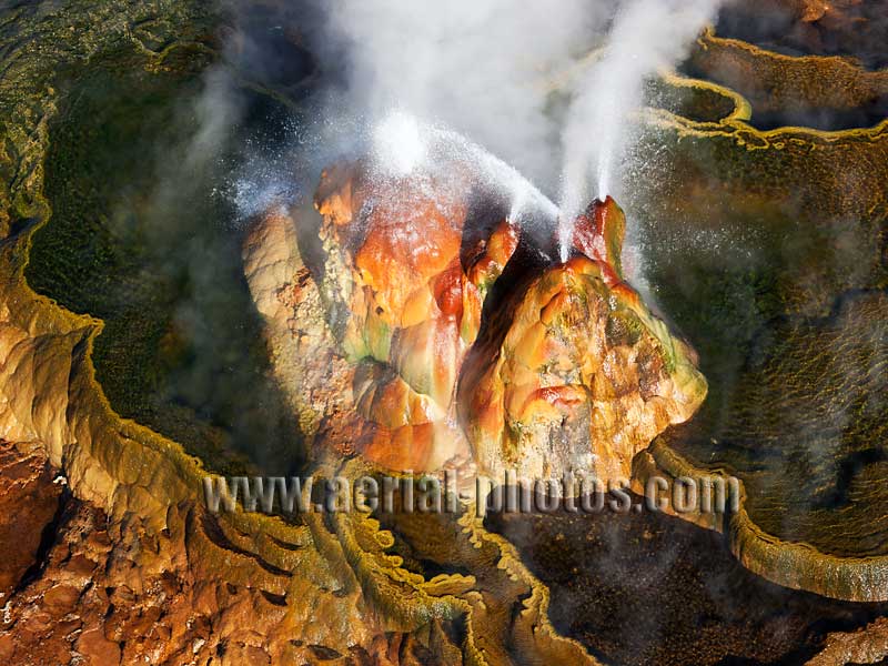
Beautiful Mistake. Indeed, the way this geyser came to be was by mistake. In the 1960’s, a crew was drilling in the area for the purpose of harnessing geothermal energy. This site was deemed not promising so they capped the well, but soon after, it failed. Nature took over, and a few decades later the buildup of calcium carbonate embellished by colorful thermophilic microorganisms produced this otherworldly gem. Black Rock Desert, Washoe County, Nevada, United States.
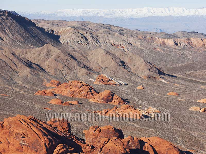
The red outcrops seen here, in the Valley of Fire, are the same Aztec sandstone as the rocks of the Bowl of Fire near Lake Mead or Red Rock Canyon west of Las Vegas. Valley of Fire State Park, Clark County, Nevada, United States.
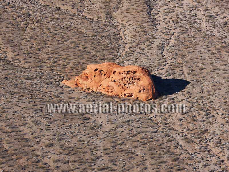
Ayers Rock's Little Sibling. Valley of Fire State Park, Clark County, Nevada, United States.
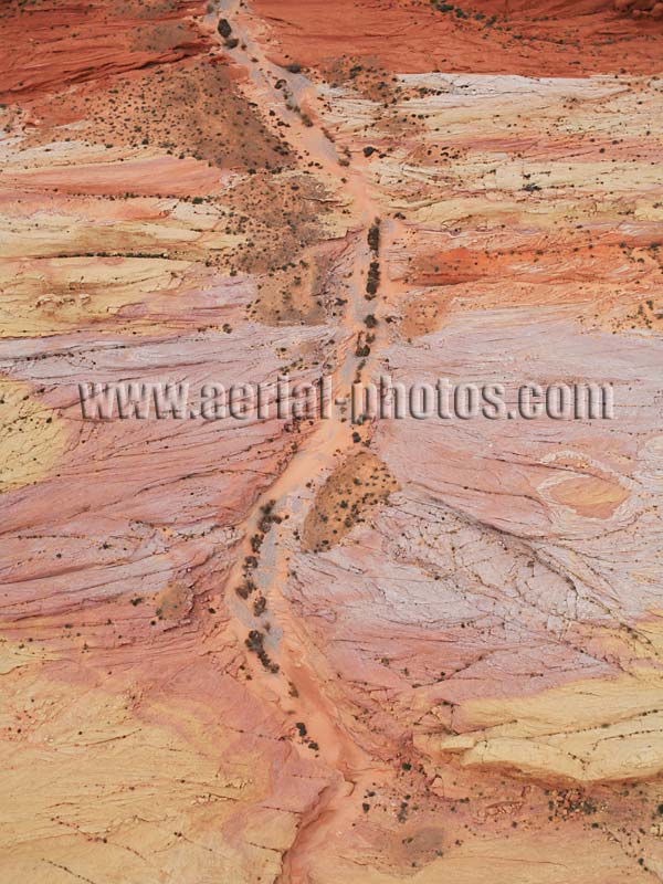
Infrequent downpours have created a wash (dry bed of a stream) on the sandstone surface. Valley of Fire State Park, Clark County, Nevada, United States.
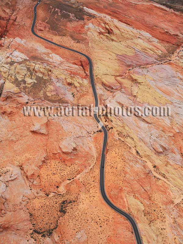
Valley of Fire State Park encompasses a formidable display of kaleidoscopic sandstones over an area of 141.2km2 (54.5mile2). The Aztec sandstone dates from the age of dinosaurs, some 150 million years ago when it was sand dunes. This winding road in the Rainbow Vista area of the park has appeared in many car commercials. Valley of Fire State Park, Clark County, Nevada, United States.

Northshore Road in Lake Mead National Recreation Area. Clark County, Nevada, United States.
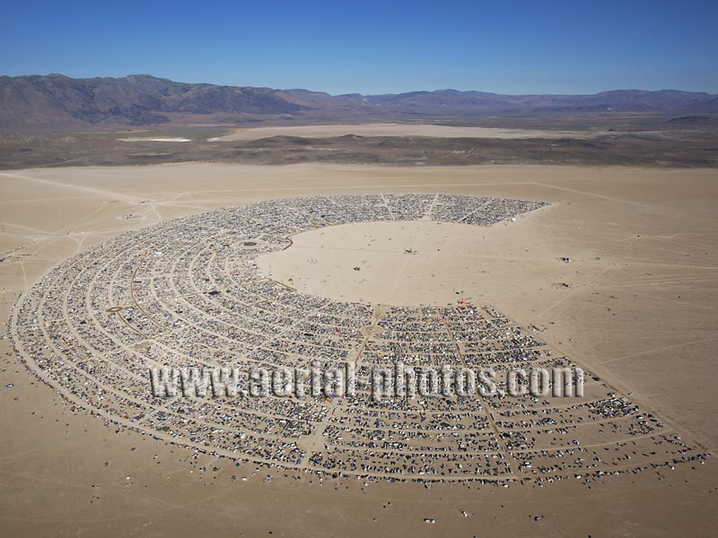
)’( Burning Man is a huge counterculture event taking place every Labor Day week-end. 2008 gathered over 49,000 people (Carson City, the Nevada state capital, has a population of about 55,000). Black Rock Desert, Pershing County, Nevada, United States.
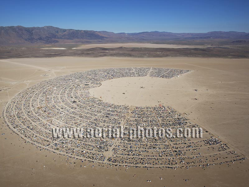
)’( Black Rock City in 2010. This annual festival takes place on the playa (dry lake with no outflow) in the Black Rock Desert. Pershing County, Nevada, United States.
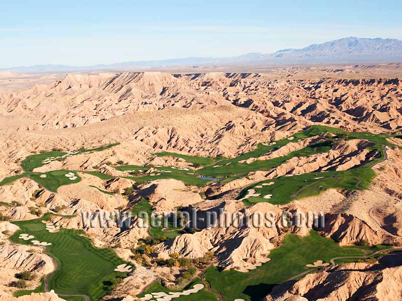
Desert Anomaly. This golf course is in sharp contrast to the surrounding barren Mojave Desert. An oddity where the summer temperature routinely soars above 43°C (110°F). Mesquite, Clark County, Nevada, United States.
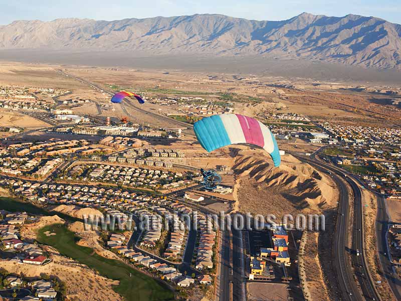
Two powered parachutes flying above the city of Mesquite. Clark County, Nevada, United States.


