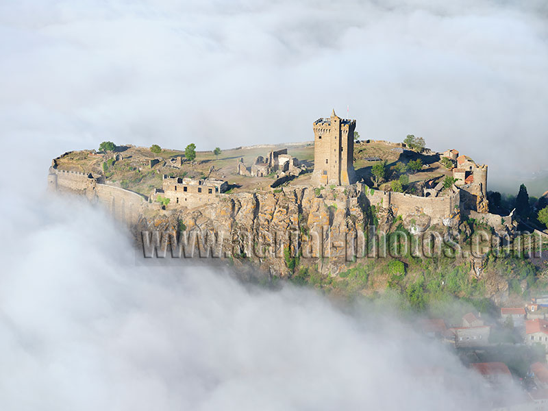
Polignac Fortress above the early morning fog. Built on a volcanic mesa, the fortress’ defensive history dates back to the 10th century to protect the city of Le Puy-en-Velay located a few kilometers to the southeast. The imposing 32-meter-high Donjon was built between 1385 and 1421. The Fortress of Polignac was inscribed on the first list of Historic Monument in 1840. Polignac, Haute-Loire, Auvergne-Rhône-Alpes, France.
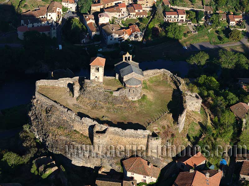
Saint-Ilpize Castle on a basaltic butte overlooking the Allier River. Saint-Ilpize, Haute-Loire, Auvergne-Rhône-Alpes, France.
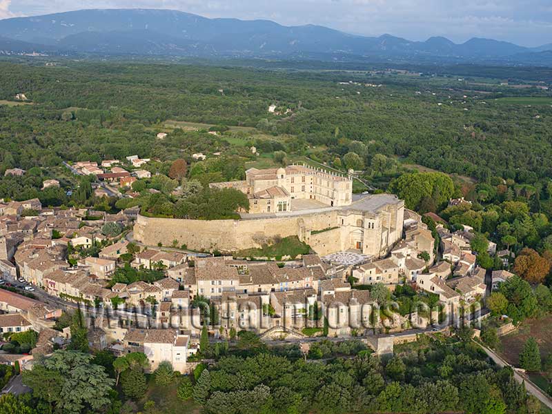
Built on a rocky outcrop, Grignan Castle dominates the eponymous village and the plains of the Provencal Drôme. A fortified castle on the butte was first mentioned in the 11th century, During the Renaissance, it was transformed into a prestigious residence by the Adhémar family. The Drôme department acquired the Château in 1979. It was listed as a historic monument in 1993. Grignan. Drôme, Auvergne-Rhône-Alpes, France.
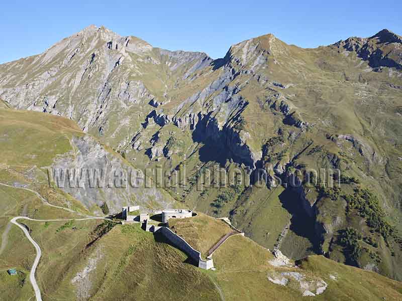
The Fort de la Platte also known as the Fort of the 2000 (in reference to its altitude of 2000 meters) was built between 1891 and 1894. This vantage point was facing the Petit-Saint-Bernard mountain pass which was the access road to the Aosta Valley at a time of tension between Italy and France. Bourg-St-Maurice, Savoie, Auvergne-Rhône-Alpes, France.
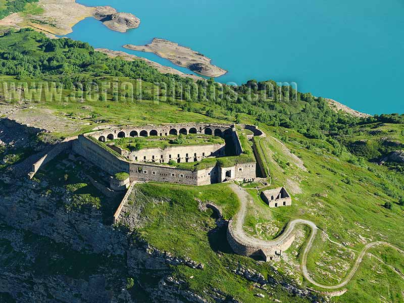
The Variselle Fort (elevation: 2085 meters) overlooking the Lake Mont-Cenis. The fort was built in the late 19th century when the area was Italian, it became French after World War II. Its location was strategic as it is near the Mont-Cenis Pass (elevation: 2083 meters). The French / Italian border is now downstream of the Dam; the reservoir drains into the Po Valley. Val-Cenis, Savoie, Auvergne-Rhône-Alpes, France.
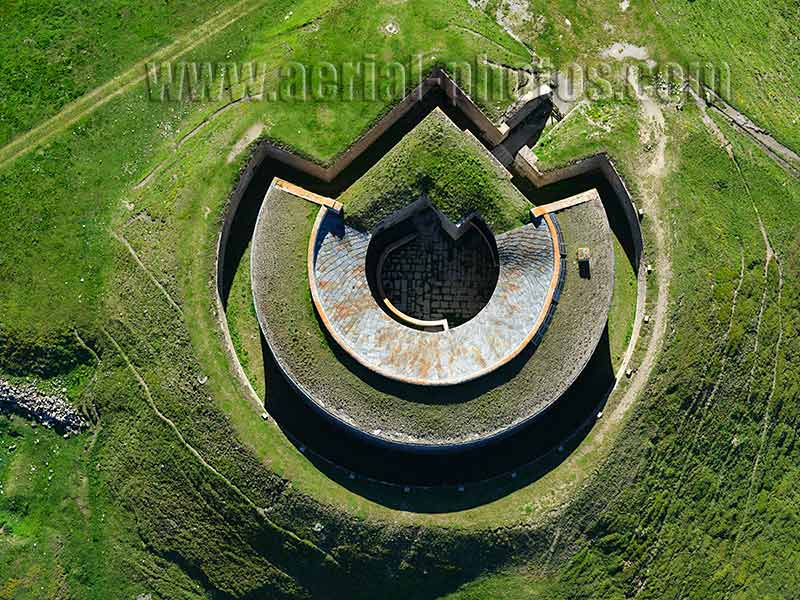
Also located near Lake Mont-Cenis, Fort de Ronce, at an altitude of 2301 meters, was built between 1877 and 1880 when the area was Italian. The purpose of this construction was to protect the new kingdom of Italy from a possible French invasion via the Mont-Cenis pass located less than 5 kilometers to the west-northwest. Val-Cenis, Savoie, Auvergne-Rhône-Alpes, France.
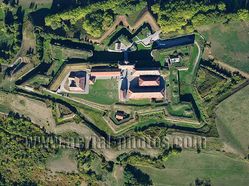
Fort Barraux. Isère, Auvergne-Rhône-Alpes, France.
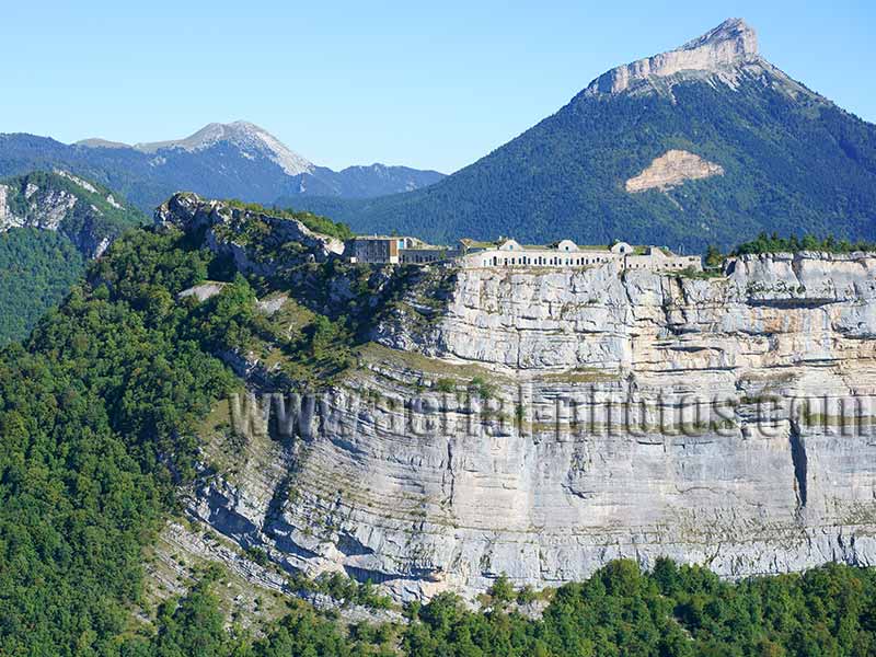
Fort du Saint-Eynard also known as Fort Seras is one of seven forts built to protect the city of Grenoble. It was built in the late 19th century according to Général Séré de Rivières. The site probably would have been impossible to attack had it been tested as it is located between a vertiginous cliff and a man-made ditch on the steep terrain behind. Le Sappey-en-Chartreuse, Isère, Auvergne-Rhône-Alpes, France.
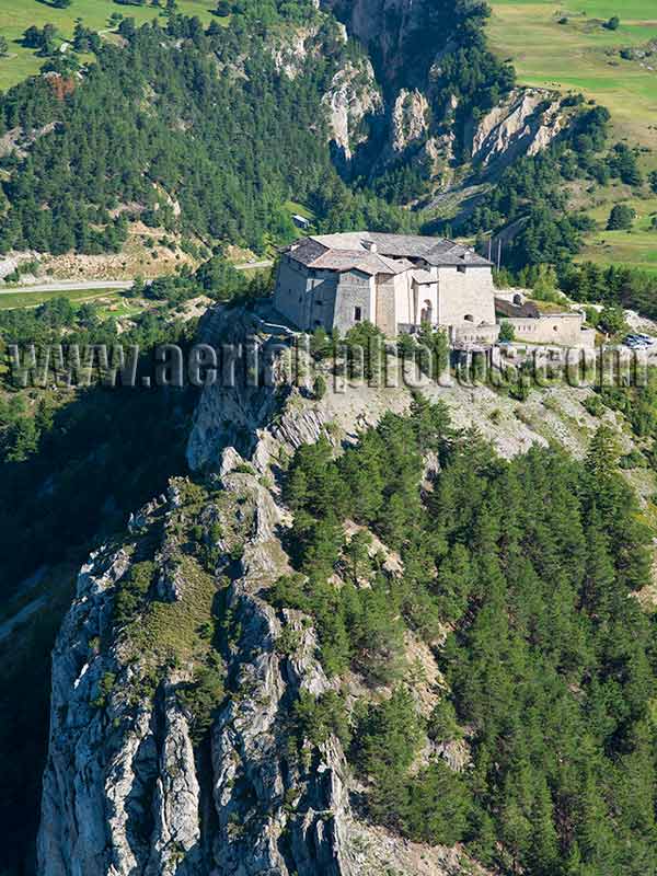
Fort Marie-Christine, Aussois, Savoie, Auvergne-Rhône-Alpes, France.
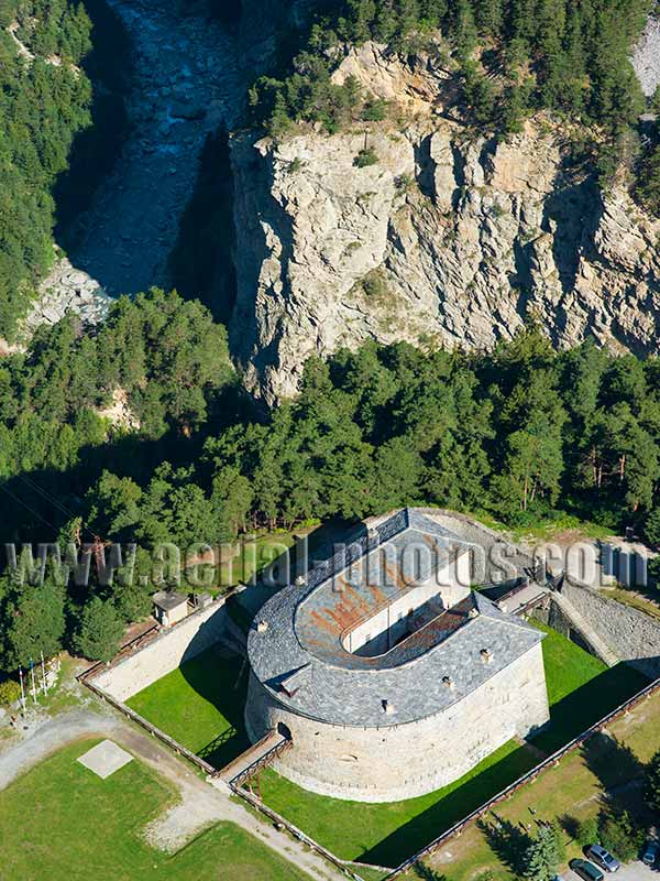
Redoute Marie-Thérèse, Aussois, Savoie, Auvergne-Rhône-Alpes, France.
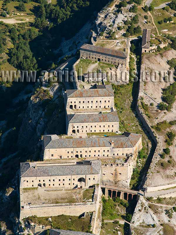
Fort Victor-Emmanuel, Aussois, Savoie, Auvergne-Rhône-Alpes, France.
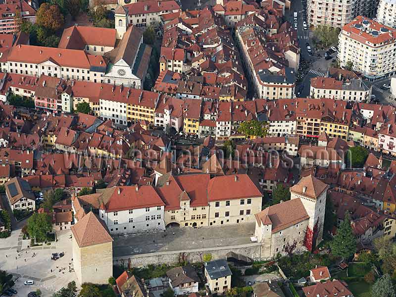
The medieval castle of Annecy we see today was built between the 13th and 16th centuries. The oldest part of the castle, dating back to the 13th century is the Tour de la Reine (the square tower on the left). The city of Annecy purchased the historic monument in 1953, turning it into a museum with exhibitions related to the region. Haute-Savoie, Auvergne-Rhône-Alpes, France.
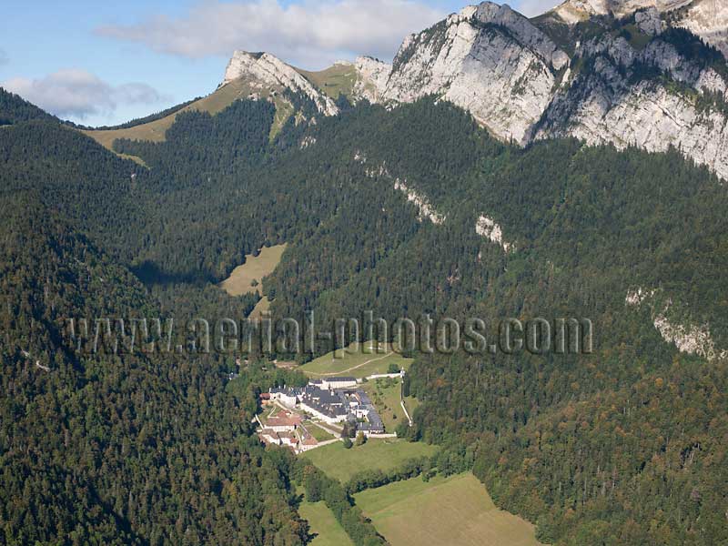
Since the 11th century, the Grande Chartreuse Monastery has this picturesque remote alpine valley as a backdrop. The name Chartreuse is known worldwide for the strong liquor produced by the monks of this Carthusian order in the nearby town of Voiron. Saint-Pierre-de-Chartreuse, Isère, Auvergne-Rhône-Alpes, France.
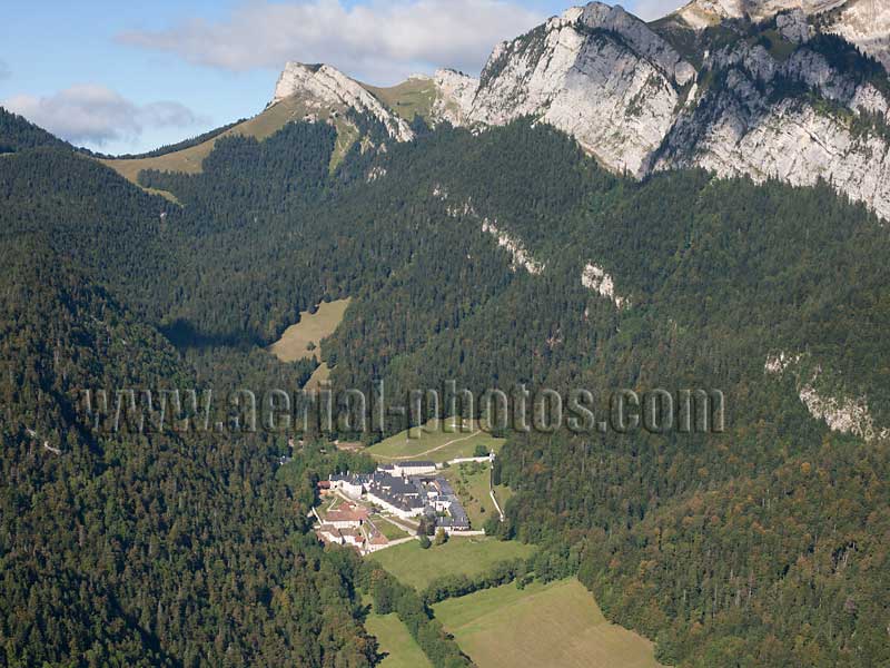
Grande Chartreuse Monastery. Saint-Pierre-de-Chartreuse, Isère, Auvergne-Rhône-Alpes, France.
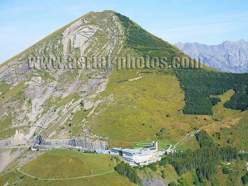
High in the Alps below the Gargas summit (elevation: 2208m), the sanctuary of Notre-Dame de la Salette (elevation: 1769m) was built on the site, where in 1846, two young sheepherders were eyewitnesses to a Marian apparition. La Salette-Fallavaux, Isère, Auvergne-Rhône-Alpes, France.
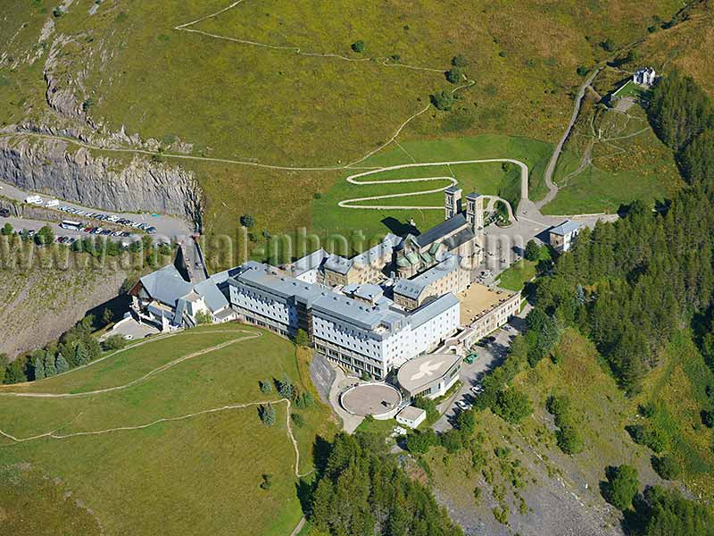
Notre-Dame de la Salette Sanctuary. La Salette-Fallavaux, Isère, Auvergne-Rhône-Alpes, France.
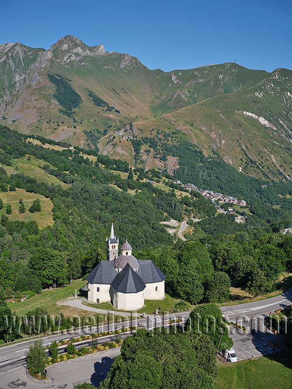
Notre-Dame-de-la-Vie Sanctuary is an important religious site in the Belleville Valley of the western Vanoise Mountains. It was built in the 17th century and listed as a historic monument in 1947. Les Belleville, Savoie, Auvergne-Rhône-Alpes, France.
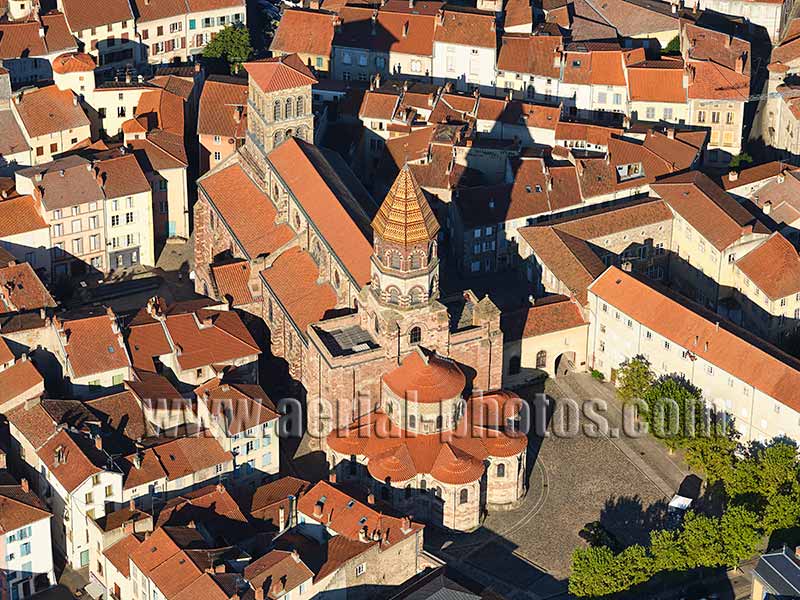
Brioude Basilica. Haute-Loire, Auvergne-Rhône-Alpes, France.
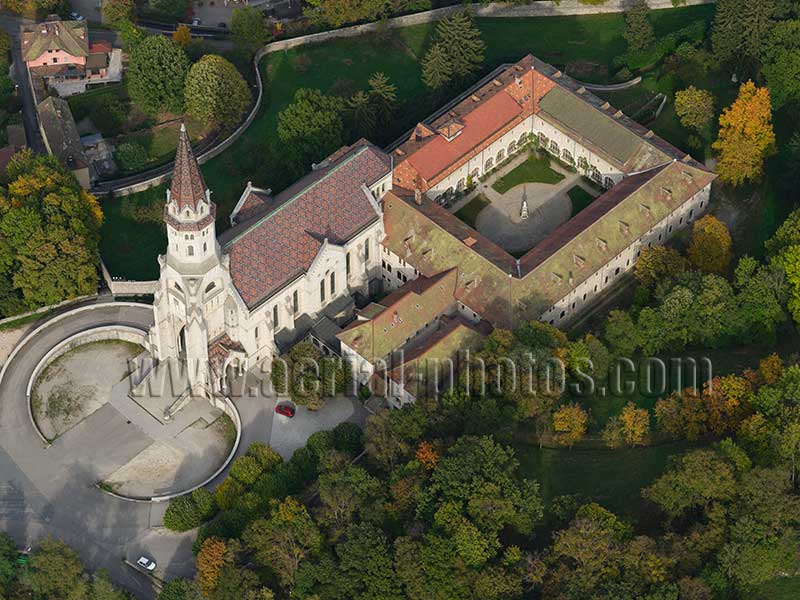
Annecy basilica. Haute-Savoie, Auvergne-Rhône-Alpes, France.
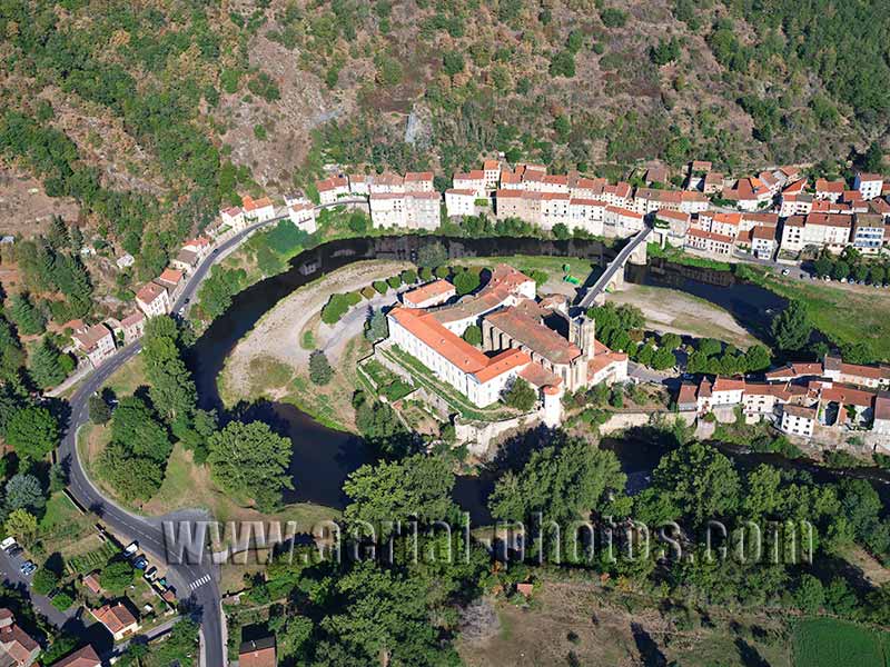
The Sainte-Croix Priory was founded by Odilon de Mercœur in 1025. Its structure has undergone numerous modifications since its construction. The priory is registered as a historic monument. It is located in a narrow valley within a meander of the Allier River. The bridge, probably built in the 15th century, is also registered as a historic monument. Lavoûte-Chilhac, Haute-Loire, Auvergne-Rhône-Alpes, France.


