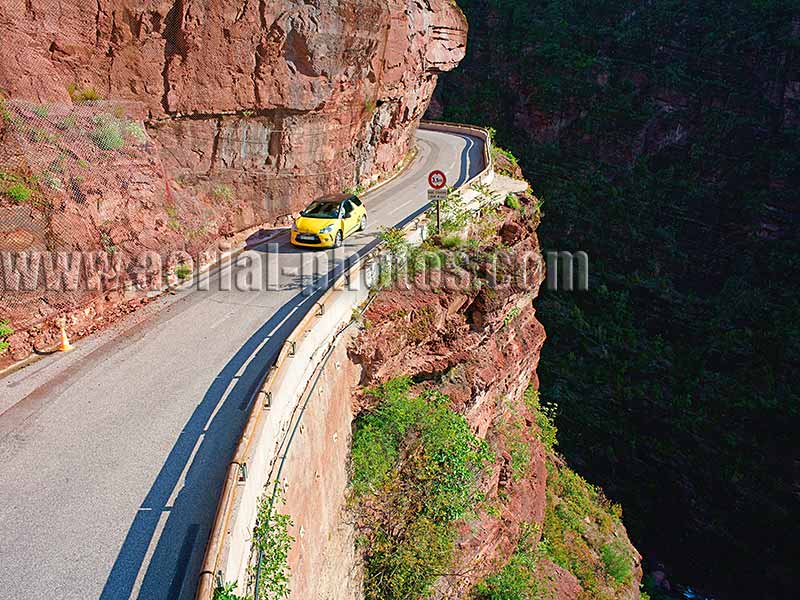
The French Riviera's backcountry is as spectacular as its coastline. Many winding roads in the mountainous backcountry are enticing for car lovers, perhaps to put the pedal-to-the-metal. These scenic roads are often the shooting locations of choice for car manufacturers to showcase their new models. Cians Gorge, in Rigaud, Alpes-Maritimes, Provence-Alpes-Côte d'Azur, France.
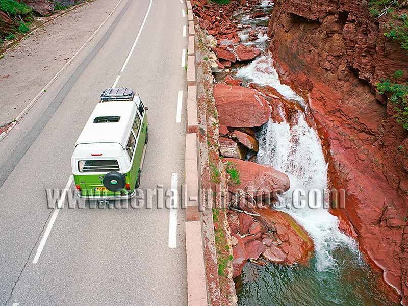
Discovering the French Riviera's spectacular backcountry in a combi Volkswagen. This backcountry offers plenty of opportunities for exploring the wilderness away from the nearby, overcrowded Riviera. The Cians is a tributary of the Var River, its distinctive red color is due to the iron oxyde present in the pelite (a sedimentary rock composed of clay). Cians Gorge, Alpes-Maritimes, Provence-Alpes-Côte d'Azur, France.
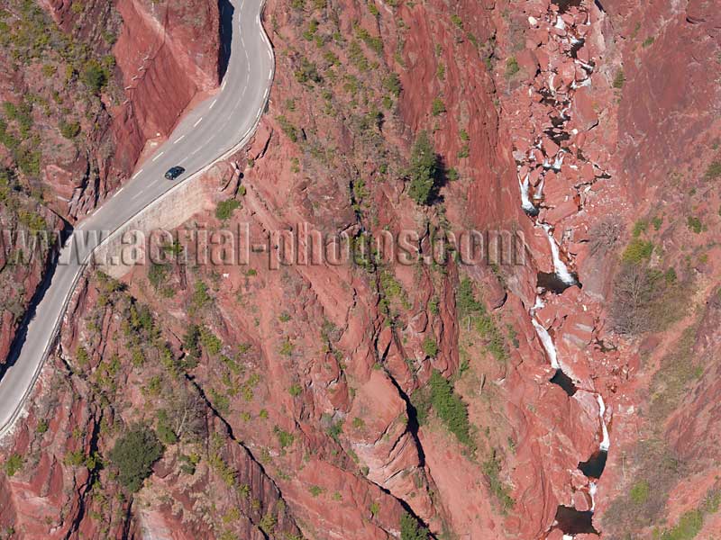
Vertiginous road. Gorges du Cians, Alpes-Maritimes, Provence-Alpes-Côte d'Azur, France
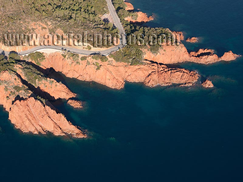
Scenic road on the jagged coastline of the Estérel Massif. Le Trayas, Saint-Raphaël, Var, Provence-Alpes-Côte d'Azur, France.
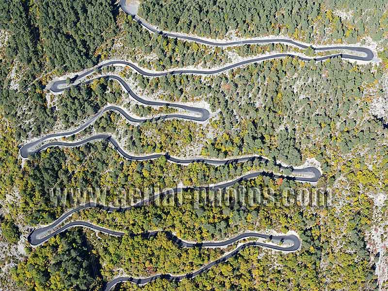
Switchbacks road in Guillaumes. Alps, Provence-Alpes-Côte d'Azur, France.
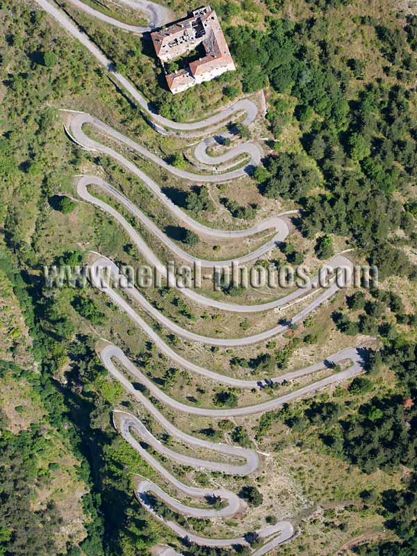
Switchbacks. Tende Pass, Alps, Provence-Alpes-Côte d'Azur, France.
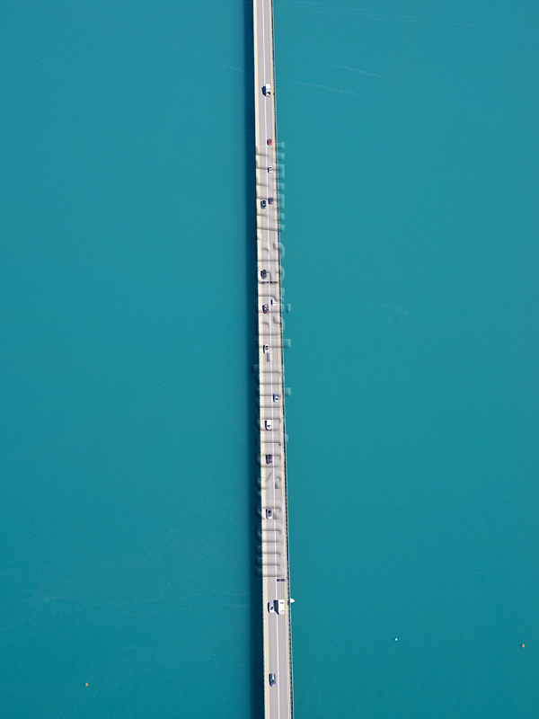
Savines bridge. Lake Serre-Ponçon, Durance Valley, Alps, Provence-Alpes-Côte d'Azur, France.
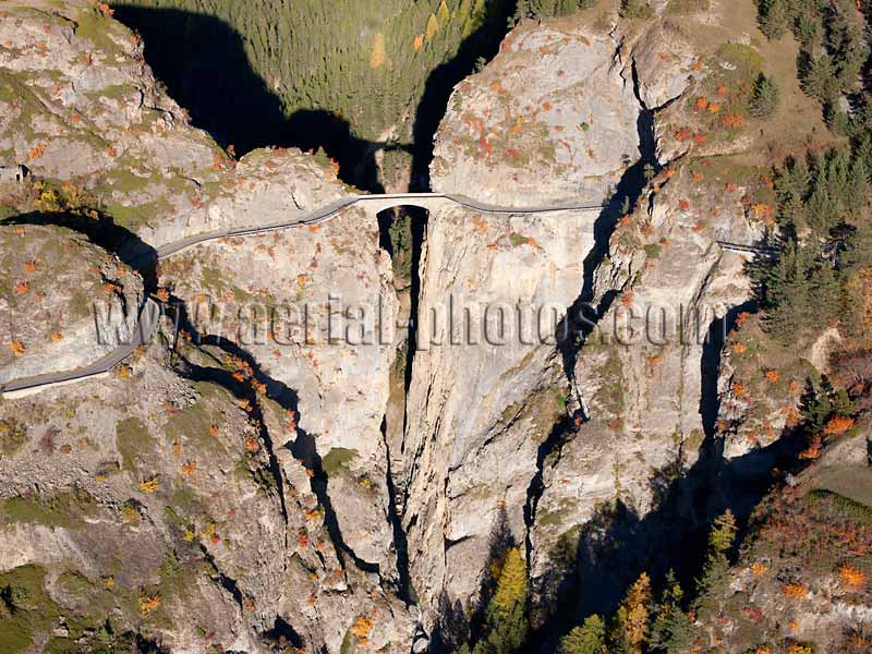
Châtelet Bridge (built 1882, 18m clear span, 108m above the river). Saint-Paul-sur-Ubaye, Alps, Provence-Alpes-Côte d'Azur, France.
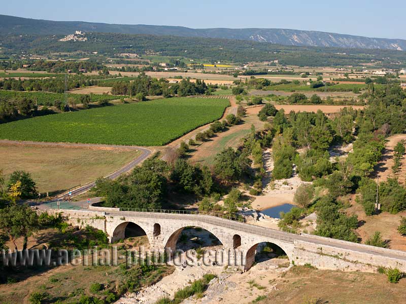
Roman bridge. Pont Julien, Vaucluse, Provence-Alpes-Côte d'Azur, France.
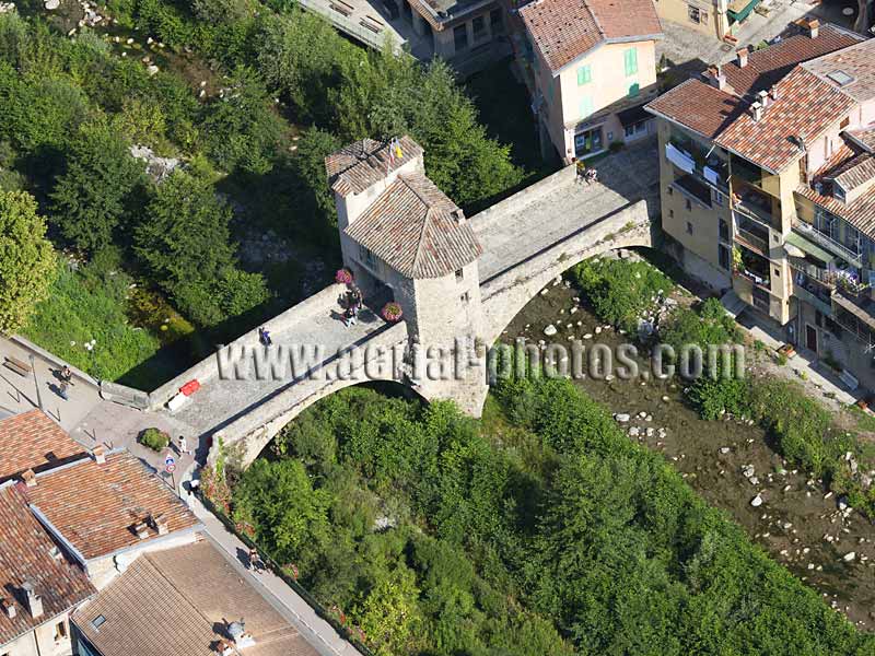
Old Toll Bridge. Sospel, Alps, Provence-Alpes-Côte d'Azur, France.
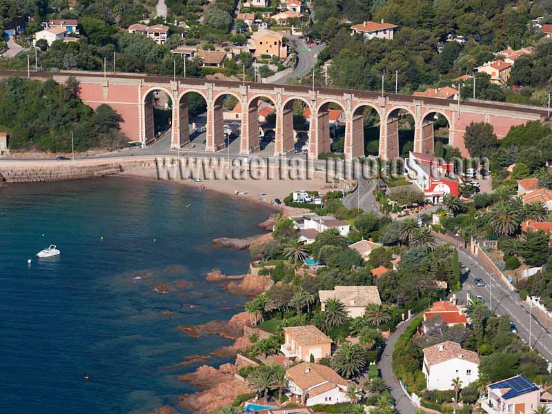
Agay Viaduct. Saint-Raphaël, French Riviera, Provence-Alpes-Côte d'Azur, France.
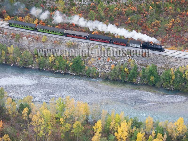
This historic steam train, known as Train des Pignes, takes sightseers on a slow journey in the upper Var Valley where it will pass through picturesque landscapes and medieval villages where time stands still. Alpes-Maritimes and Alpes-de-Haute-Provence, Provence-Alpes-Côte d'Azur, France.
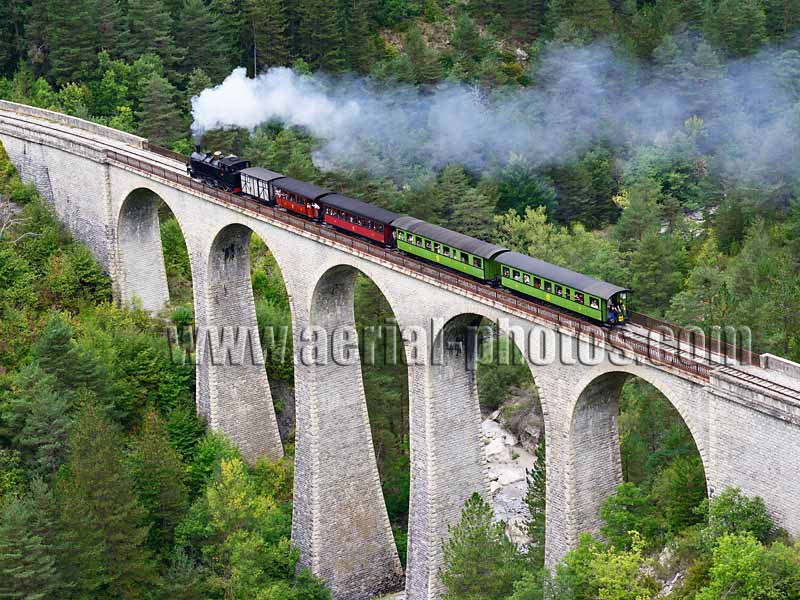
Train des Pignes on the Viaduct of the Donne crossing the Coulomp River at a height of 42 meters. The railroad viaduct was built in 1908. Annot, Alpes-de-Haute-Provence, Provence-Alpes-Côte d'Azur, France.
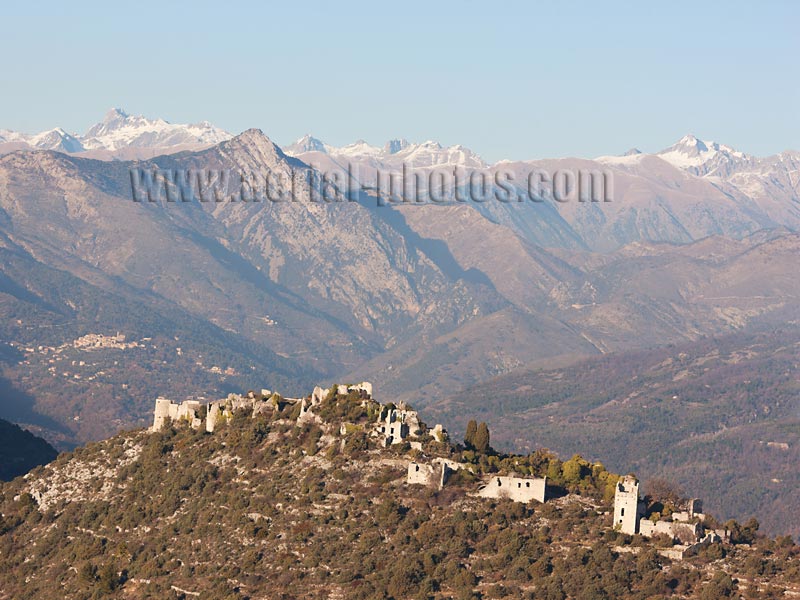
The abandoned hilltop village of Châteauneuf-Villevieille with the Mercantour Massif in the distance. At a lower elevation, to the left, the village of Coaraze can be seen, it is labeled one of the most beautiful villages of France. Alpes-Maritimes, Provence-Alpes-Côte d'Azur, France.
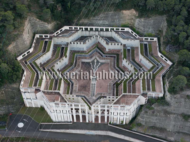
Mausoleum. Colomars, Alpes-Maritimes, Provence-Alpes-Côte d'Azur, France.
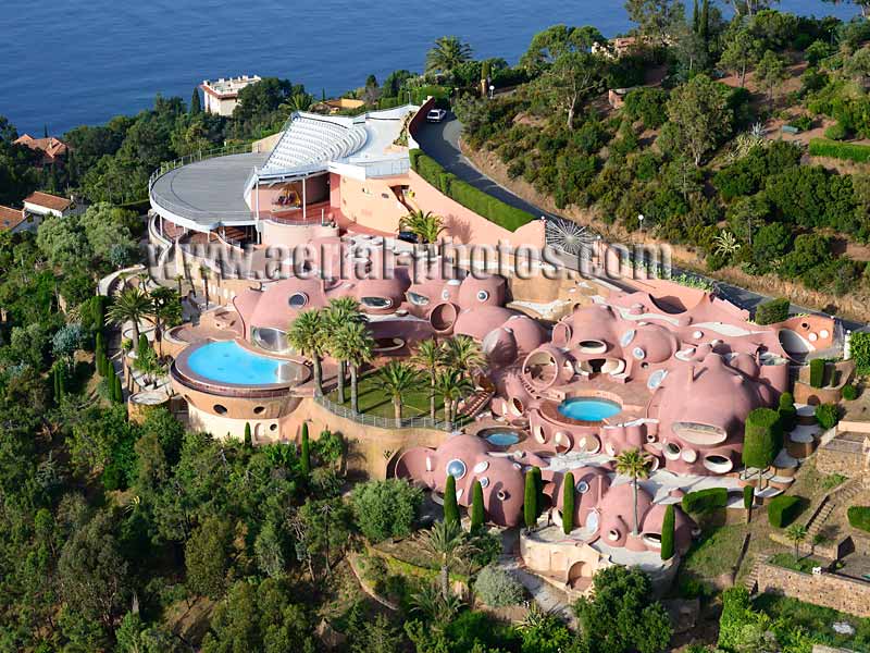
Palais Bulles. Théoule-sur-Mer, Alpes-Maritimes, Provence-Alpes-Côte d'Azur, France.
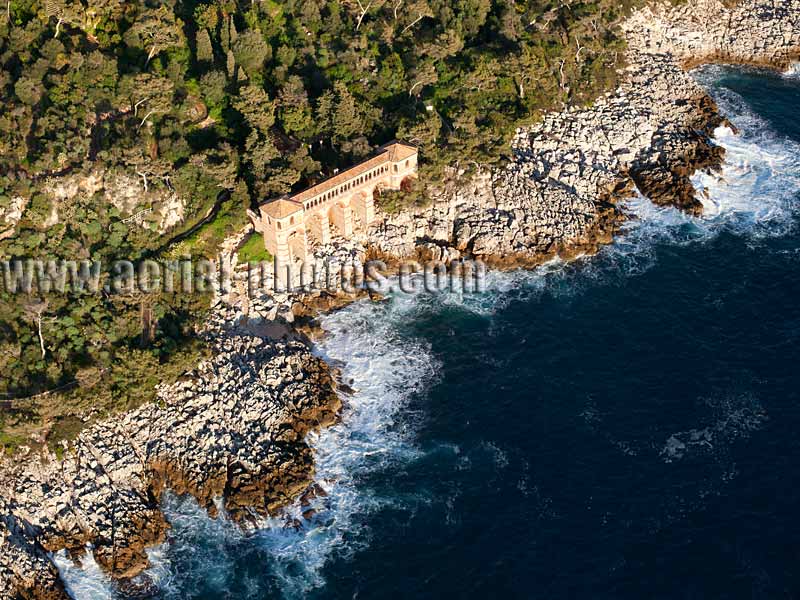
Villa Cyrnos. Roquebrune-Cap-Martin, Alpes-Maritimes, Provence-Alpes-Côte d'Azur, France.
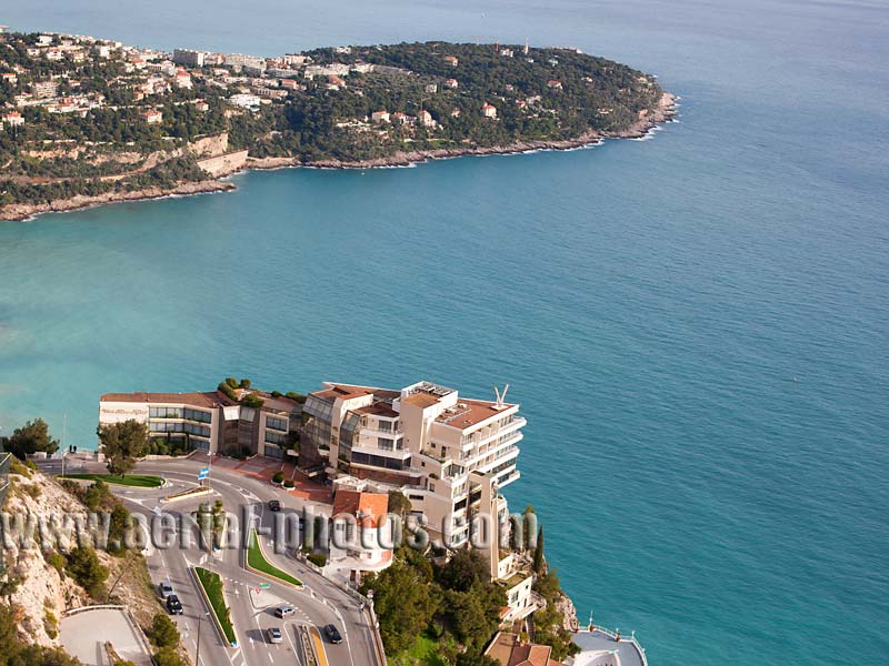
The Million Dollar View from the Maybourne Riviera (formerly the Vista Palace Hotel). The 5-star hotel is located on a clifftop at an elevation of 305 meters above the azure Mediterranean. From its suites, France, Italy, the Principality of Monaco can be seen, even the island of Corsica on a clear day. Roquebrune-Cap-Martin, French Riviera, Provence-Alpes-Côte d'Azur, France.
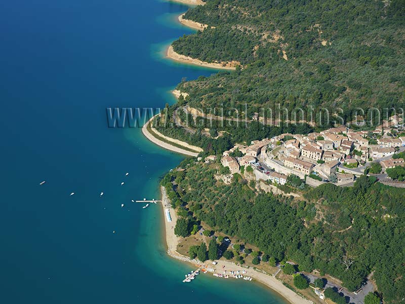
Sainte-Croix-du-Verdon overlooking Lake Sainte-Croix. Alpes-de-Haute-Provence, Provence-Alpes-Côte d'Azur, France.
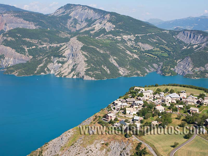
The village of Le Sauze du Lac overlooking Lake Serre-Ponçon. Hautes-Alpes, Provence-Alpes-Côte d'Azur, France.


