Home / Enter a keyword / Contact

FRANCE

Auvergne-Rhône-Alpes / Bourgogne-Franche-Comté / Centre-Val de Loire / Corsica / Grand Est / Hauts-de-France / Normandy / Nouvelle-Aquitaine / Occitanie / Provence-Alpes-Côte d'Azur

01/19 20/39 40/59 60/79 80/99

Aerial view, hoodoos or pinnacles, Théus, Alps, France. VUE AERIENNE cheminées de fées, demoiselles coiffées.

Hoodoos of Théus, these geological formations are due to the erosion of sedimentary layers of fluvio-glacial origin. Théus, Hautes-Alpes, Provence-Alpes-Côte d'Azur, France.
Aerial view, ocher quarry of Rustrel, Colorado Provençal, Vaucluse, Provence, France. VUE AERIENNE carrière d'ocres.

Provençal Colorado. This seemingly natural site is actually the product of man and nature, it is an historic ocher quarry. The striking variations of red colors are due to the iron oxides this sandy layer contains. The ore extracted was refined to produce a pigment to be used in a wide range of products. This golden age lasted from 1890 until its demise in 1930 with the introduction of synthetic dyes. Nowadays, this site is popular with hikers. Rustrel, Vaucluse, Provence-Alpes-Côte d'Azur, France.

AERIAL VIEW photo of Saint-Pilon Peak, Saint-Raphaël, Estérel Massif, Var, French Riviera, France. VUE AERIENNE Côte d'Azur.

The American West on the French Riviera. Saint-Pilon Peak, Saint-Raphaël, Estérel Massif, French Riviera, Provence-Alpes-Côte d'Azur, France.

AERIAL VIEW photo of a landslide, Roubion, Mercantour Alps, France. VUE AERIENNE glissement de terrain.

Bleeding Earth. Landslide, Roubion, Mercantour Alps, Provence-Alpes-Côte d'Azur, France.

AERIAL VIEW photo of the Pelens Needles, Mercantour Alps, Alpes-Maritimes, France. PHOTO AERIENNE Aiguilles de Pelens.

Pelens Needles (elevation: 2523m). Mercantour Alps, Provence-Alpes-Côte d'Azur, France.

AERIAL VIEW photo of Mont Mounier, above treeline landscape, Beuil, Mercantour National Park, French Alps, France. VUE AERIENNE Alpes Françaises.

Moonscape on the southern slopes of Mount Mounier (elevation: 2817m). Beuil, Alps, Provence-Alpes-Côte d'Azur, France.

AERIAL VIEW photo of Mont Ventoux, Vaucluse, France. VUE AERIENNE.

Mont Ventoux (elevation: 1910m). Vaucluse, Provence-Alpes-Côte d'Azur, France.

AERIAL VIEW photo of Bure Peak and its massive cliff, Dévoluy Massif, French Alps, France. VUE AERIENNE, Pic de Bure et sa falaise, Massif du Dévoluy, Alpes Françaises.

Bure Peak (elevation: 2709m) with its massive east facing cliff (height: 600m). Dévoluy Massif, Alps, Provence-Alpes-Côte d'Azur, France.

AERIAL VIEW photo of Barre des Écrins, Écrins National Park, French Alps, France. VUE AERIENNE Alpes Françaises.

With an elevation of 4102 meters, the Barre des Écrins is the highest summit in the Provence-Alpes-Côte d'Azur region. Écrins National Park, Alps, France.

AERIAL VIEW photo of Mount Pelvoux, Écrins National Park, French Alps, France. VUE AERIENNE Mont Pelvoux, Parc National des Écrins, Alpes Françaises.

Mount Pelvoux (elevation: 3914m). Écrins National Park, Alps, Provence-Alpes-Côte d'Azur, France.

AERIAL VIEW photo of Gélas Peak, Mercantour National Park, Alpes-Maritimes, France. VUE AERIENNE, Cime du Gélas.

Alpes-Maritimes' highest summit, Gélas Peak (elevation: 3143m). Mercantour National Park, Provence-Alpes-Côte d'Azur, France.

AERIAL VIEW photo of Mount Clapier, Mercantour National Park, Alpes-Maritimes, France. VUE AERIENNE Mont Clapier.

Mount Clapier (elevation: 3045m) is Alps' above-3000m-summit closest to the Mediterranean Sea (at 38km only). Mercantour National Park, Provence-Alpes-Côte d'Azur, France.

AERIAL VIEW photo of Monte Argentera, Mercantour Alps, Alpes-Maritimes, France. VUE AERIENNE Monte Argentera.

Mount Argentera (elevation: 3297m) summit in Italy, aerial view from the French side. Argentera - Mercantour Massif, France - Italie.

AERIAL VIEW photo of Mount Grand Capelet, Mercantour National Park, Alpes-Maritimes, France. VUE AERIENNE Mont Capelet.

Mount Grand Capelet (elevation: 2935m). Mercantour National Park, Provence-Alpes-Côte d'Azur, France.

AERIAL VIEW photo of a waterfall, Sillans-la-Cascade, Var, Provence, France. VUE AERIENNE cascade.

Waterfall. Sillans-la-Cascade, Var, Provence-Alpes-Côte d'Azur, France.

AERIAL VIEW photo a waterfall, Canyon, Alpes-Maritimes, France. VUE AERIENNE cascade, Gorges du Cians.

Waterfalls in the Cians Gorge. Beuil, Alps, Provence-Alpes-Côte d'Azur, France.

AERIAL VIEW photo of a riverbed with large red boulders, Var River, Gorges de Daluis, French Alps, France. VUE AERIENNE rocher rouge, fleuve le Var, Alpes-Maritimes.

Large boulders of red pelite scattered on the riverbed of the Var river. Gorges de Daluis, Guillaumes, Provence-Alpes-Côte d'Azur, France.
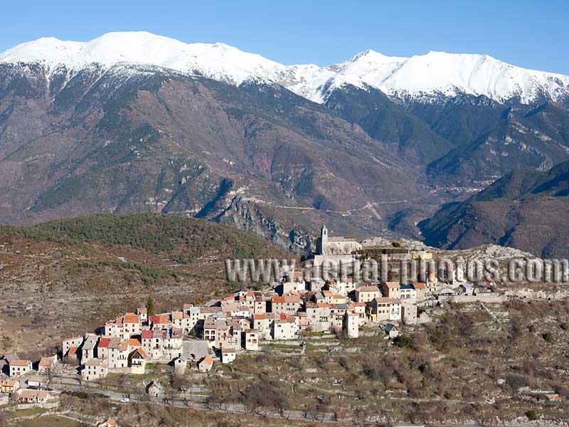
AERIAL VIEW photo of Lake Serre-Ponçon, French Alps, France. VUE AERIENNE Lac de Serre-Ponçon, Alpes Françaises.

Lake Serre-Ponçon. Ubaye Valley, Alps, Provence-Alpes-Côte d'Azur, France.
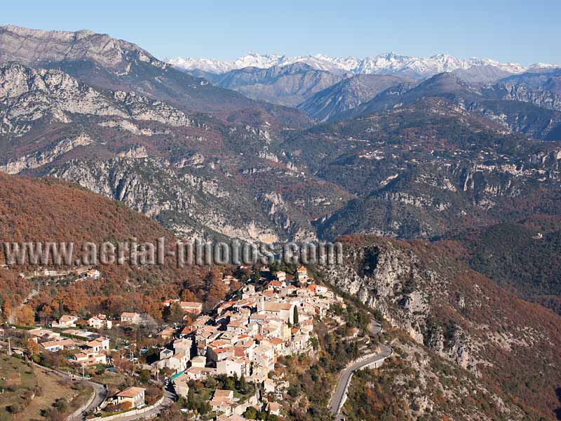
AERIAL VIEW photo of le Sauze du Lac village, Lake Serre-Ponçon, French Alps, France. VUE AERIENNE lac de Serre-Ponçon, Alpes Françaises.

Le Sauze du Lac village overlooking Lake Serre-Ponçon. Alps, Provence-Alpes-Côte d'Azur, France.
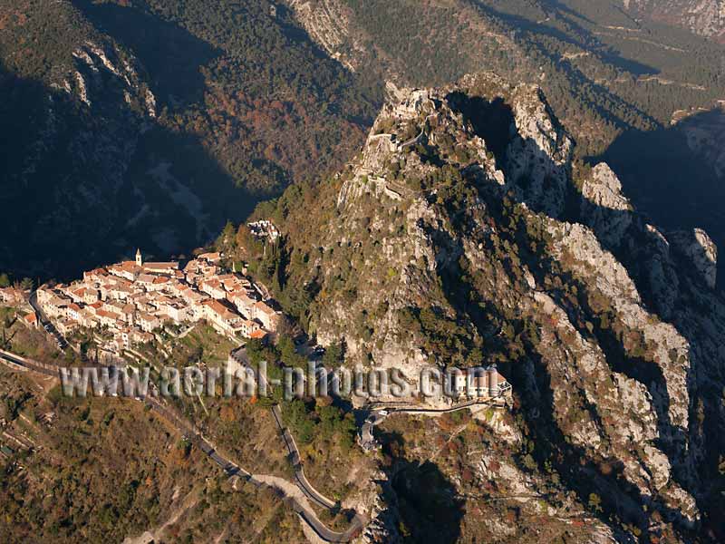
AERIAL VIEW photo of Sainte-Croix du Verdon Village, Lake, France. VUE AERIENNE Provence.

Village of Sainte-Croix du Verdon overlooking Lake Sainte-Croix. Provence-Alpes-Côte d'Azur, France.
TOP